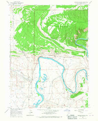
1965 Map of Dinosaur Quarry
USGS Topo · Published 1967About this map
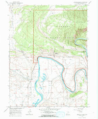
Dinosaur National Monument dominates this mid-1960s landscape, where the Green River carves a dramatic path through Split Mountain Canyon. The map centers on the world-renowned Dinosaur Quarry, a primary site for paleontological research and public interest. To the north, the terrain rises sharply into Split Mountain, dissected by deep drainages like Cottonwood Wash and Red Wash. Along the river's winding course, local industry and infrastructure are evident through features such as a Gaging Station, a Flume, and several scattered Gravel Pits. While much of the land remains undeveloped, the presence of a Storage Bin, Graves, and a Split Mtn Gorge Campground highlights the area's dual role as a working landscape and a burgeoning destination for scientific tourism and recreation.
Find a feature on this map
29 named features on this map. Tap any name to fly to it.
Don’t see what you’re looking for? This feature index may not catch every label — zoom into the map to look around manually.
Map Details
Editions of this 1965 Dinosaur Quarry Map
2 editions found
Other maps of this area

1885 · Ashley
USGS Topo · 1:250,000

1907 · Jensen
USGS Topo · 1:125,000

1910 · Jensen
USGS Topo · 1:125,000

1954 · Vernal
USGS Topo · 1:250,000

1955 · Island Park
USGS Topo · 1:24,000

1955 · Split Mountain
USGS Topo · 1:24,000

1958 · Vernal
USGS Topo · 1:250,000

1960 · Vernal
USGS Topo · 1:250,000
1965 · Donkey Flat
USGS Topo · 1:24,000
1965 · Dinosaur Quarry
USGS Topo · 1:24,000