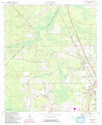
1964 Map of Dinsmore
USGS Topo · Published 1992About this map
Thomas Creek and the Trout River define the low-lying landscape northwest of Jacksonville in this mid-century survey with early 1990s revisions. The map highlights the transition from rural woodlands to suburban development along the Nassau and Duval county line. Small settlements like Dinsmore and Keene appear alongside landmarks such as Keen Cem and the Dinsmore Lookout Tower.
Find a feature on this map
27 named features on this map. Tap any name to fly to it.
Don’t see what you’re looking for? This feature index may not catch every label — zoom into the map to look around manually.
Map Details
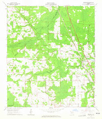
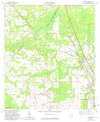
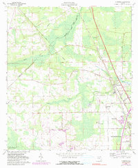
Editions of this 1964 Dinsmore Map
4 editions found
Other maps of this area

1917 · Cambon
USGS Topo · 1:62,500

1917 · Hilliard
USGS Topo · 1:62,500

1918 · St Marys
USGS Topo · 1:62,500

1918 · Cambon
USGS Topo · 1:62,500

1918 · Jacksonville
USGS Topo · 1:62,500

1919 · St Marys
USGS Topo · 1:62,500

1919 · Hilliard
USGS Topo · 1:62,500

1948 · Jacksonville
USGS Topo · 1:250,000

1950 · Trout River
USGS Topo · 1:24,000
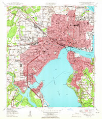
1950 · Jacksonville
USGS Topo · 1:24,000