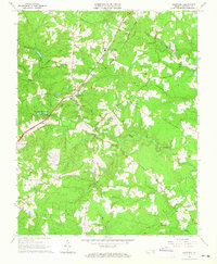
1963 Map of Dinwiddie
USGS Topo · Published 1965About this map
Dinwiddie serves as the focal point of this Virginia quadrangle, situated where the Seaboard Air Line railroad intersects a network of rural roads in the early 1960s. The landscape is defined by the drainage basins of Stony Creek and its tributaries, including Gravelly Run and Hawkins Run, where the topography is dotted with numerous small family and community landmarks. Genealogists will find a wealth of specific sites, from the Wittbush Cem and Hawkins Memorial Ch Cem to several local congregations like Olive Branch Ch and St Thomas Ch. The transport infrastructure of the era is evidenced by the Butterworth Dep and a prominent Tower near the town center, while local education is represented by facilities such as Southside High Sch and the Mt Level Sch.
Find a feature on this map
27 named features on this map. Tap any name to fly to it.
Don’t see what you’re looking for? This feature index may not catch every label — zoom into the map to look around manually.
Map Details
Editions of this 1963 Dinwiddie Map
3 editions found
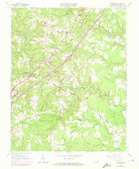
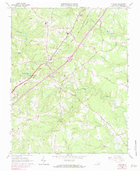
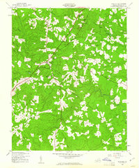
Other maps of this area

1894 · Petersburg
USGS Topo · 1:62,500

1897 · Amelia
USGS Topo · 1:125,000

1919 · Jarratt
USGS Topo · 1:62,500

1919 · Mc Kenney
USGS Topo · 1:48,000

1921 · Mc Kenney
USGS Topo · 1:62,500

1943 · Mc Kenney
USGS Topo · 1:62,500

1943 · De Witt
USGS Topo · 1:24,000
1943 · Dinwiddie
USGS Topo · 1:24,000

1943 · Church Road
USGS Topo · 1:24,000

1943 · Sutherland
USGS Topo · 1:24,000