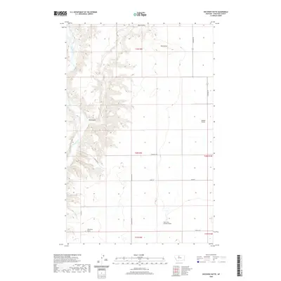
2020 Map of Discovery Butte
USGS Topo · Published 2020About this map
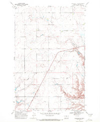
The Marias River carves a deep path through this portion of Chouteau County, creating a stark contrast between the low-lying river valley and the elevated agricultural plains. The landscape is defined by its drainage patterns, most notably Black Coulee and O'Halon Coulee, which channel runoff toward the river through intricate draws. Two prominent landmarks, Discovery Butte and Black Butte, serve as topographic anchors in a region where long-standing section lines dictate the modern road network. Rural access is maintained through a grid of local routes like Colony Bay Rd and Kenilworth Rd, reflecting the large-scale ranching and farming operations that characterize this part of Montana. The transition from the flatlands to the sharp descents of West Fork Sixmile Coulee illustrates the erosive power of water in this semi-arid environment.
Find a feature on this map
17 named features on this map. Tap any name to fly to it.
Don’t see what you’re looking for? This feature index may not catch every label — zoom into the map to look around manually.
Map Details
Editions of this 2020 Discovery Butte Map
This is the sole edition of this map. No revisions or reprints were ever made.
Other maps of this area

1906 · Lonesome
USGS Topo · 1:62,500

1919 · Big Sandy
USGS Topo · 1:125,000

1954 · Shelby
USGS Topo · 1:250,000

1958 · Shelby
USGS Topo · 1:250,000
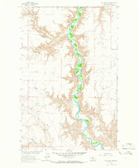
1964 · Day School SW
USGS Topo · 1:24,000
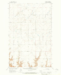
1964 · Day School
USGS Topo · 1:24,000

1969 · Fourteenmile Coulee SW
USGS Topo · 1:24,000
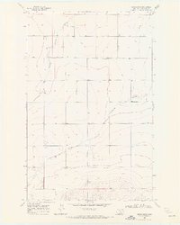
1969 · Kenilworth
USGS Topo · 1:24,000

1969 · Dutch Henry Coulee
USGS Topo · 1:24,000
1969 · Kenilworth SW
USGS Topo · 1:24,000