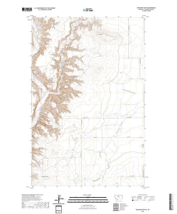
2024 Map of Discovery Butte
USGS Topo · Published 2024About this map
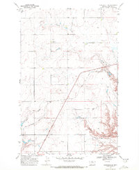
The Marias River carves a deep valley along the western edge of this Chouteau County landscape, creating a sharp contrast with the high, dry plains to the east. This 2024 survey captures a terrain defined by complex erosion patterns, where numerous drainages like Black Coulee and Sixmile Coulee have etched deep incisions into the prairie. Dominating the local topography are high points such as Black Butte and the namesake Discovery Butte, which likely served as crucial orientation points for early travelers and homesteaders across this northern Montana region.
Find a feature on this map
19 named features on this map. Tap any name to fly to it.
Don’t see what you’re looking for? This feature index may not catch every label — zoom into the map to look around manually.
Map Details
Editions of this 2024 Discovery Butte Map
This is the sole edition of this map. No revisions or reprints were ever made.
Other maps of this area

1906 · Lonesome
USGS Topo · 1:62,500

1919 · Big Sandy
USGS Topo · 1:125,000

1954 · Shelby
USGS Topo · 1:250,000

1958 · Shelby
USGS Topo · 1:250,000
1964 · Day School SW
USGS Topo · 1:24,000
1964 · Day School
USGS Topo · 1:24,000

1969 · Fourteenmile Coulee SW
USGS Topo · 1:24,000
1969 · Kenilworth
USGS Topo · 1:24,000

1969 · Dutch Henry Coulee
USGS Topo · 1:24,000
1969 · Kenilworth SW
USGS Topo · 1:24,000