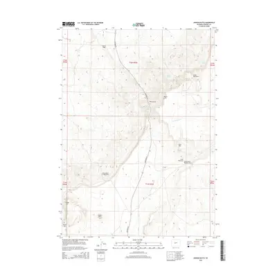
2015 Map of Dishpan Butte
USGS Topo · Published 2015About this map
Dishpan Butte and the towering escarpment of Beaver Rim dominate this high-elevation landscape in Fremont County. The map details a complex network of ephemeral drainages and vital water sources, including Bear Spring, O'Brien Spring, and Wagon Bed Spring, which have historically served as critical landmarks in this arid environment. The terrain is characterized by dramatic shifts in elevation, evidenced by features such as McTurk Ridge, Prodigy Hill, and the narrow passage at Devils Gap. Movement through the area is primarily defined by Sand Draw Rd, which follows the contours of the landscape past McTurk Draw and Little Sand Draw. These landforms, along with Cedar Rim and Government Slide Draw, illustrate the significant erosional processes shaping the region's geography.
Find a feature on this map
22 named features on this map. Tap any name to fly to it.
Don’t see what you’re looking for? This feature index may not catch every label — zoom into the map to look around manually.
Map Details
Editions of this 2015 Dishpan Butte Map
This is the sole edition of this map. No revisions or reprints were ever made.
Other maps of this area

1951 · Myers Ranch
USGS Topo · 1:24,000

1953 · Blue Gulch
USGS Topo · 1:24,000

1953 · Bringolf Ranch
USGS Topo · 1:24,000

1953 · Sweetwater Station
USGS Topo · 1:24,000

1953 · Elkhorn Springs
USGS Topo · 1:24,000

1953 · Sand Draw
USGS Topo · 1:24,000

1953 · Dishpan Butte
USGS Topo · 1:24,000

1953 · Yellowstone Ranch
USGS Topo · 1:24,000

1953 · Red Canyon
USGS Topo · 1:24,000

1955 · Lander
USGS Topo · 1:250,000