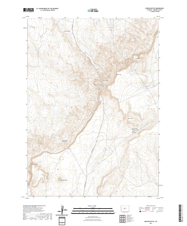
2021 Map of Dishpan Butte
USGS Topo · Published 2021About this map
Dishpan Butte rises above a landscape defined by significant geological escarpments and seasonal drainages in this modern survey of Fremont County. The prominent ridge of Beaver Rim and the corresponding Cedar Rim dominate the topography, creating a series of natural gaps and draws that have influenced movement through this part of Wyoming for generations. Essential water sources, which historically dictated travel and ranching viability, are clearly marked at Wagon Bed Spring, O'Brien Spring, and Bear Spring.
Find a feature on this map
21 named features on this map. Tap any name to fly to it.
Don’t see what you’re looking for? This feature index may not catch every label — zoom into the map to look around manually.
Map Details
Editions of this 2021 Dishpan Butte Map
This is the sole edition of this map. No revisions or reprints were ever made.
Other maps of this area

1951 · Myers Ranch
USGS Topo · 1:24,000

1953 · Blue Gulch
USGS Topo · 1:24,000

1953 · Bringolf Ranch
USGS Topo · 1:24,000

1953 · Sweetwater Station
USGS Topo · 1:24,000

1953 · Elkhorn Springs
USGS Topo · 1:24,000

1953 · Sand Draw
USGS Topo · 1:24,000

1953 · Dishpan Butte
USGS Topo · 1:24,000

1953 · Yellowstone Ranch
USGS Topo · 1:24,000

1953 · Red Canyon
USGS Topo · 1:24,000

1955 · Lander
USGS Topo · 1:250,000