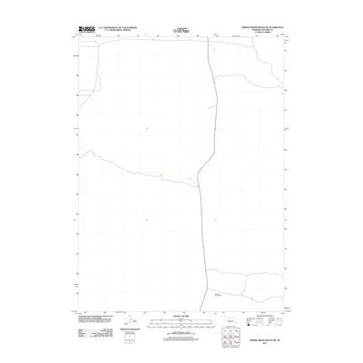
2011 Map of Dismal River Ranch NE
USGS Topo · Published 2011About this map
Sandhills Golf Course stands as the primary landmark in this remote section of Hooker County. The landscape is defined by the characteristic topography of the Nebraska Sandhills, where the sparse road network and lack of dense settlement reflect the region's ranching heritage. This 2011 survey illustrates how the high plains terrain is managed for both recreational use and traditional land management, with a few unpaved routes and trails navigating the rolling dunes. The absence of traditional townsites or public schools on this sheet highlights the vast, open nature of the cattle country in this part of the Dismal River drainage.
Find a feature on this map
1 named feature on this map. Tap any name to fly to it.
Don’t see what you’re looking for? This feature index may not catch every label — zoom into the map to look around manually.
Map Details
Editions of this 2011 Dismal River Ranch NE Map
This is the sole edition of this map. No revisions or reprints were ever made.
Other maps of this area

1947 · Dismal River Ranch
USGS Topo · 1:62,500

1948 · Seneca
USGS Topo · 1:62,500

1948 · Mullen
USGS Topo · 1:62,500

1949 · Dismal River Ranch
USGS Topo · 1:62,500

1950 · Shimmins Lake
USGS Topo · 1:62,500

1951 · Mullen
USGS Topo · 1:62,500

1951 · Seneca
USGS Topo · 1:62,500

1954 · North Platte
USGS Topo · 1:250,000

1956 · North Platte
USGS Topo · 1:250,000

1957 · North Platte
USGS Topo · 1:250,000