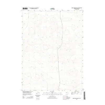
2014 Map of Dismal River Ranch NE
USGS Topo · Published 2014About this map
Sandhills terrain dominates this Hooker County landscape, characterized by a complex network of dunes and depressions typical of central Nebraska. The primary human imprint on this expansive topographic study is Ne-97, a state highway that snakes North-to-South through the eastern portion of the quadrangle. Aside from this transport corridor, the map reveals a largely undeveloped region where the intricate contour lines describe a high density of natural relief. The lack of named settlements or civic structures highlights the open, ranch-oriented nature of the territory during this period of the early twenty-first century.
Find a feature on this map
1 named feature on this map. Tap any name to fly to it.
Don’t see what you’re looking for? This feature index may not catch every label — zoom into the map to look around manually.
Map Details
Editions of this 2014 Dismal River Ranch NE Map
This is the sole edition of this map. No revisions or reprints were ever made.
Other maps of this area

1947 · Dismal River Ranch
USGS Topo · 1:62,500

1948 · Seneca
USGS Topo · 1:62,500

1948 · Mullen
USGS Topo · 1:62,500

1949 · Dismal River Ranch
USGS Topo · 1:62,500

1950 · Shimmins Lake
USGS Topo · 1:62,500

1951 · Mullen
USGS Topo · 1:62,500

1951 · Seneca
USGS Topo · 1:62,500

1954 · North Platte
USGS Topo · 1:250,000

1956 · North Platte
USGS Topo · 1:250,000

1957 · North Platte
USGS Topo · 1:250,000