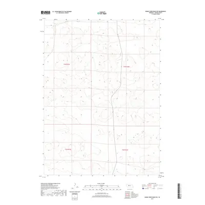
2017 Map of Dismal River Ranch NE
USGS Topo · Published 2017About this map
Sandhills terrain dominates this western Nebraska landscape, characterized by an intricate network of dunes and depressions in the heart of Hooker County. The area is defined by its vast grazing lands and the lack of traditional township centers, instead organized through the Public Land Survey System coordinates of T23n R33w, T23n R32w, T22n R33w, and T22n R32w. A single secondary road provides the primary north-south passage through this interior section of the Dismal River Ranch region, where the elevation stays consistently between 3,200 and 3,400 feet. This 2017 survey reflects the enduring cattle-ranching layout of the Great Plains, where fence lines and section corners are the primary human imprints on an otherwise undulating prairie environment.
Find a feature on this map
4 named features on this map. Tap any name to fly to it.
Don’t see what you’re looking for? This feature index may not catch every label — zoom into the map to look around manually.
Map Details
Editions of this 2017 Dismal River Ranch NE Map
This is the sole edition of this map. No revisions or reprints were ever made.
Other maps of this area

1947 · Dismal River Ranch
USGS Topo · 1:62,500

1948 · Seneca
USGS Topo · 1:62,500

1948 · Mullen
USGS Topo · 1:62,500

1949 · Dismal River Ranch
USGS Topo · 1:62,500

1950 · Shimmins Lake
USGS Topo · 1:62,500

1951 · Mullen
USGS Topo · 1:62,500

1951 · Seneca
USGS Topo · 1:62,500

1954 · North Platte
USGS Topo · 1:250,000

1956 · North Platte
USGS Topo · 1:250,000

1957 · North Platte
USGS Topo · 1:250,000