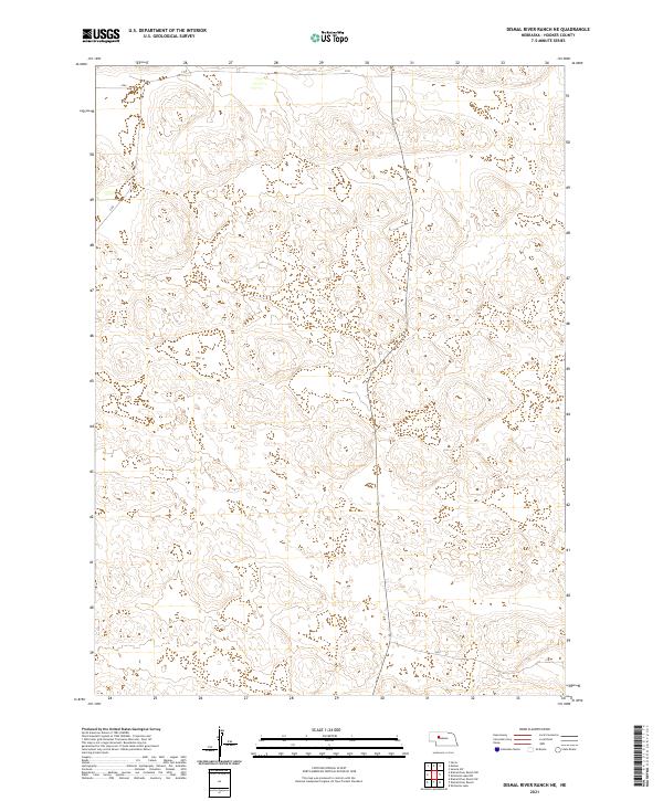
2021 Map of Dismal River Ranch NE
USGS Topo · Published 2021About this map
Hooker County terrain in central Nebraska is defined by the complex topography of the Sand Hills, where elevation contours reveal a landscape of repeating ridges and depressions. This 2021 survey focuses on the vast rangelands of the Dismal River Ranch NE quadrangle, an area structured by the Public Land Survey System (PLSS) across several townships. The map provides a precise layout of the grids for T23N R33W, T23N R32W, T22N R33W, and T22N R32W, showing the boundary lines that have defined property and land use in this part of the Great Plains for generations. While primarily undeveloped, the map traces the subtle paths of local roads and fences that navigate the interdunal valleys, characteristic of the cattle-ranching operations that dominate this remote Nebraska landscape.
Find a feature on this map
4 named features on this map. Tap any name to fly to it.
Don’t see what you’re looking for? This feature index may not catch every label — zoom into the map to look around manually.
Map Details
Editions of this 2021 Dismal River Ranch NE Map
This is the sole edition of this map. No revisions or reprints were ever made.
Other maps of this area

1947 · Dismal River Ranch
USGS Topo · 1:62,500

1948 · Seneca
USGS Topo · 1:62,500

1948 · Mullen
USGS Topo · 1:62,500

1949 · Dismal River Ranch
USGS Topo · 1:62,500

1950 · Shimmins Lake
USGS Topo · 1:62,500

1951 · Mullen
USGS Topo · 1:62,500

1951 · Seneca
USGS Topo · 1:62,500

1954 · North Platte
USGS Topo · 1:250,000

1956 · North Platte
USGS Topo · 1:250,000

1957 · North Platte
USGS Topo · 1:250,000