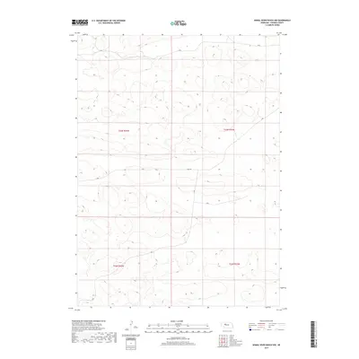
2017 Map of Dismal River Ranch NW
USGS Topo · Published 2017About this map
Hooker County terrain in the Nebraska Sandhills is defined here by its characteristic undulating topography and sparse human infrastructure. This 2017 survey reflects the vast ranching landscape south of the Middle Loup River, where the primary organizational structure is the Public Land Survey System, specifically T23n R34w, T23n R33w, T22n R34w, and t22n r33w. The map depicts a region dominated by natural depressions and rises, with very few named roads or permanent structures. This lack of development emphasizes the scale of private land holdings and the persistence of traditional cattle ranching in one of the most sparsely populated areas of the American West.
Find a feature on this map
4 named features on this map. Tap any name to fly to it.
Don’t see what you’re looking for? This feature index may not catch every label — zoom into the map to look around manually.
Map Details
Editions of this 2017 Dismal River Ranch NW Map
This is the sole edition of this map. No revisions or reprints were ever made.
Other maps of this area

1947 · Dismal River Ranch
USGS Topo · 1:62,500

1948 · Carr Lake
USGS Topo · 1:62,500

1948 · Mullen
USGS Topo · 1:62,500

1949 · Dismal River Ranch
USGS Topo · 1:62,500

1950 · Carr Lake
USGS Topo · 1:62,500

1950 · Hire
USGS Topo · 1:62,500

1951 · Mullen
USGS Topo · 1:62,500

1954 · North Platte
USGS Topo · 1:250,000

1956 · North Platte
USGS Topo · 1:250,000

1957 · North Platte
USGS Topo · 1:250,000