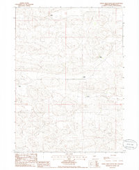
1985 Map of Dismal River Ranch NW
USGS Topo · Published 1986About this map
Isolated cattle operations define the landscape of this Hooker County quadrangle in the mid-1980s. The terrain is characterized by the complex topographic contours of the Nebraska Sandhills, where dispersed family-named holdings like Lattin Ranch and Maire Ranch are connected by unimproved roads and trails. This 1985 provisional survey preserves the exact locations of these remote headquarters, including Sexton Ranch and French Ranch, before the era of modern consolidation. The map provides a precise record of range management and land use, showing the sparse human footprint across the townships of t23n and t22n, where the nearest neighbors are often miles apart at sites such as Krave Ranch.
Find a feature on this map
7 named features on this map. Tap any name to fly to it.
Don’t see what you’re looking for? This feature index may not catch every label — zoom into the map to look around manually.
Map Details
Editions of this 1985 Dismal River Ranch NW Map
This is the sole edition of this map. No revisions or reprints were ever made.
Other maps of this area

1947 · Dismal River Ranch
USGS Topo · 1:62,500

1948 · Carr Lake
USGS Topo · 1:62,500

1948 · Mullen
USGS Topo · 1:62,500

1949 · Dismal River Ranch
USGS Topo · 1:62,500

1950 · Carr Lake
USGS Topo · 1:62,500

1950 · Hire
USGS Topo · 1:62,500

1951 · Mullen
USGS Topo · 1:62,500

1954 · North Platte
USGS Topo · 1:250,000

1956 · North Platte
USGS Topo · 1:250,000

1957 · North Platte
USGS Topo · 1:250,000