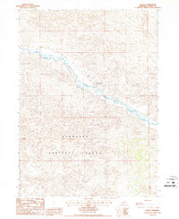
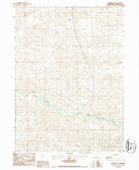
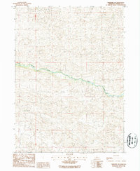
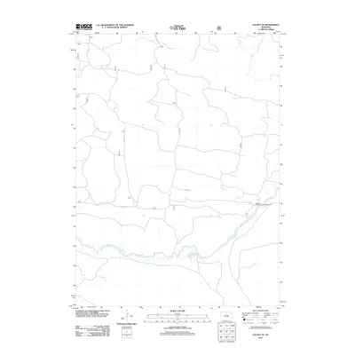
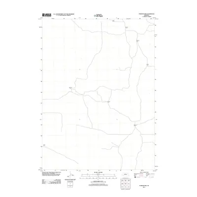
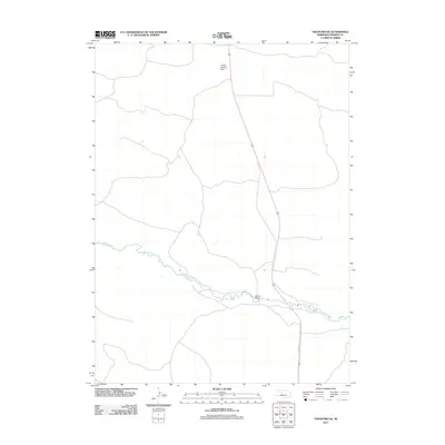
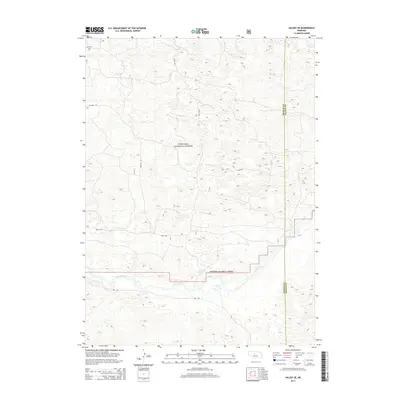
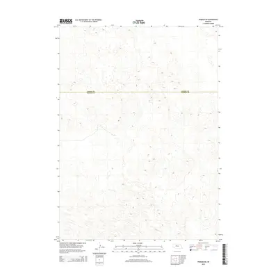
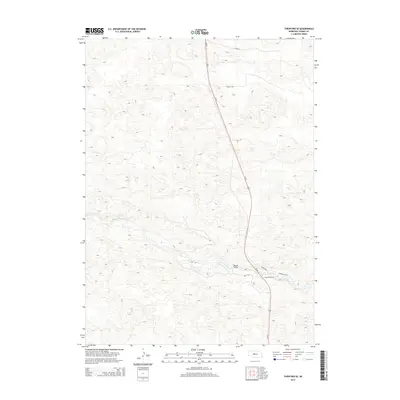
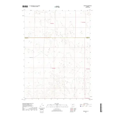
1985 Map of Dismal River
USGS Topo · Published 1994About this map
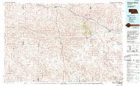
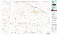
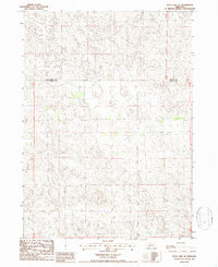
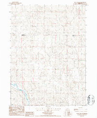
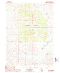
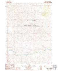
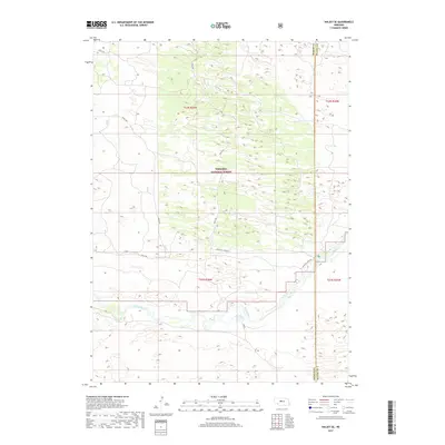
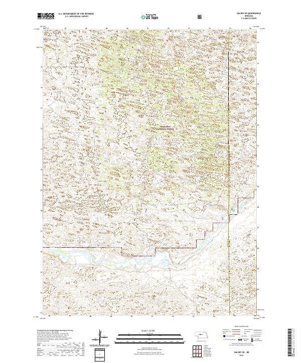
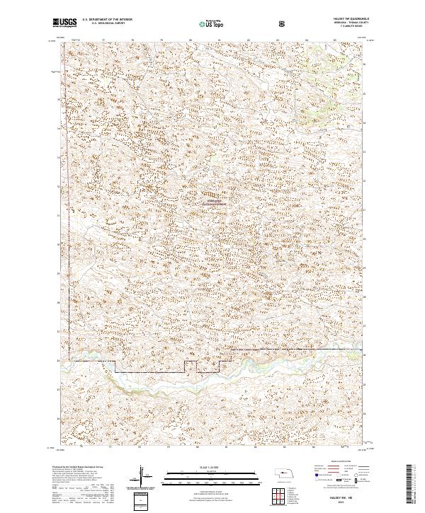
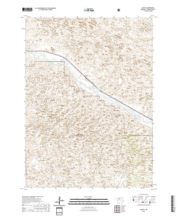
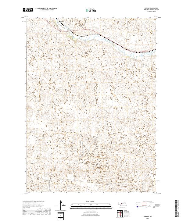
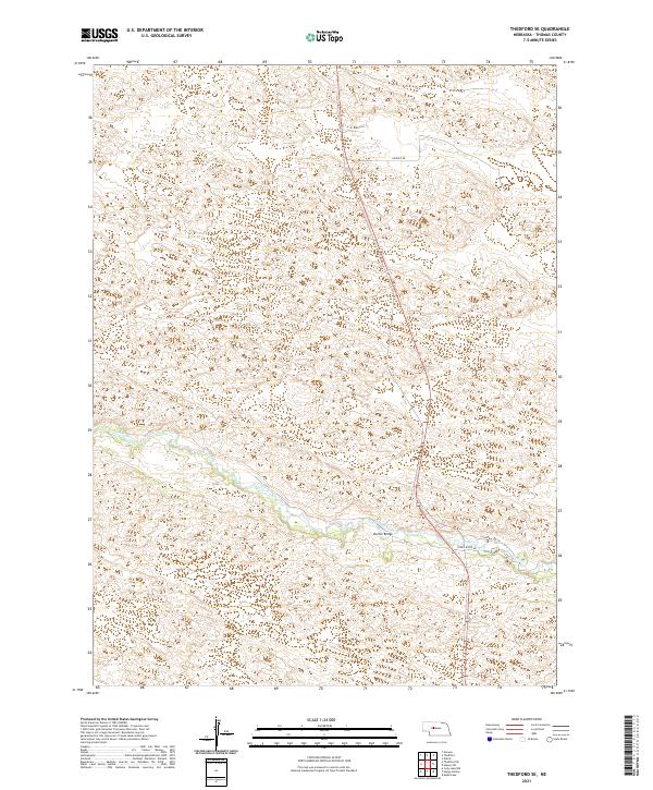
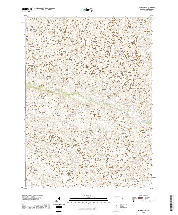
The Nebraska National Forest dominates the central landscape of this Sandhills region, illustrating a massive effort in forestation within an area of vast dunes and grasslands. Following the path of the Middle Loup River, the Burlington Northern railroad links the settlements of Thedford, Halsey, and Dunning, serving as the primary corridor for commerce and transport. To the south, the Dismal River carves a more isolated path through the terrain, flanked by numerous small lakes such as Cody Lake and Philpot Lake. The map reveals a transition in transportation history, noting an Old Railroad Grade and several isolated landing strips. Ranching culture is evident through the named flats and valleys, including Wild Horse Flats and Lone Valley, which highlight the importance of the local topography to early cattle operations.
Find a feature on this map
35 named features on this map. Tap any name to fly to it.
Don’t see what you’re looking for? This feature index may not catch every label — zoom into the map to look around manually.
Map Details
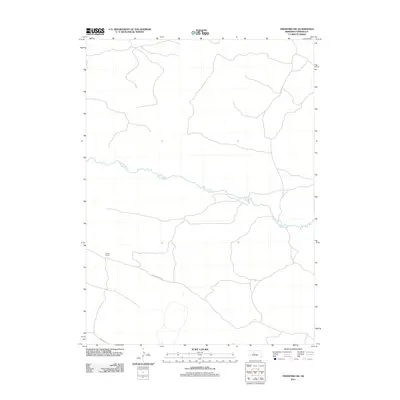
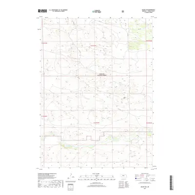
Editions of this 1985 Dismal River Map
2 editions found
Historical Maps of Thedford Through Time
61 maps found
1985 Dismal River
Thomas County, NE
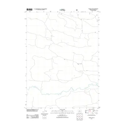
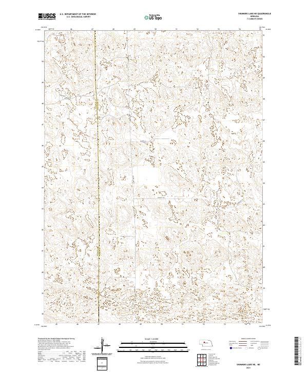
1985 Shimmins Lake NE
Thomas County, NE
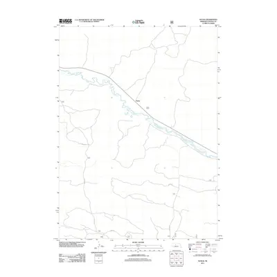
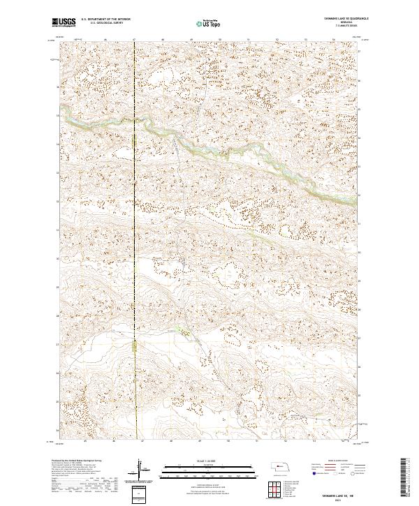
1985 Shimmins Lake SE
Thomas County, NE
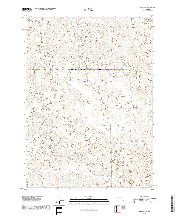
1986 Duck Lake SE
Thomas County, NE
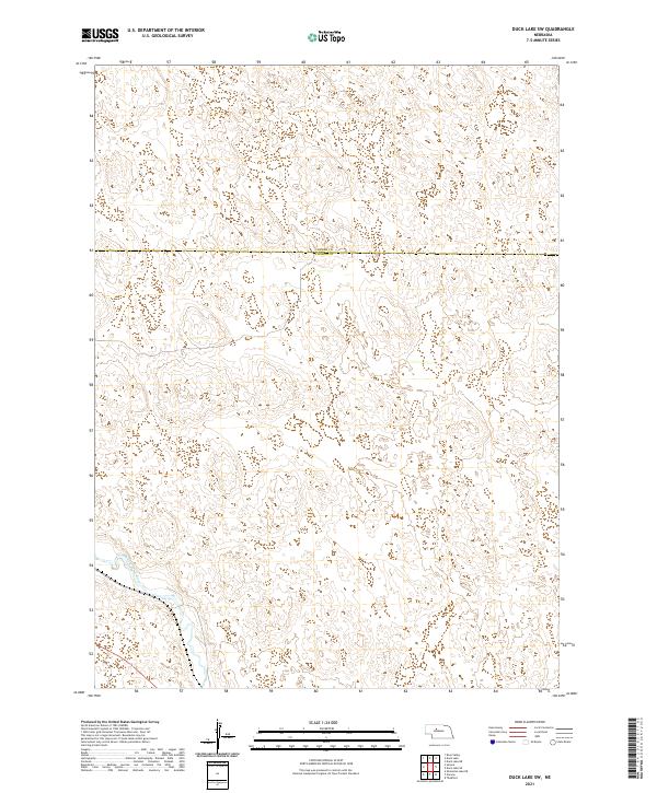
1986 Duck Lake SW
Thomas County, NE
1986 Halsey SE
Thomas County, NE
1986 Halsey SW
Thomas County, NE
1986 Natick
Thomas County, NE
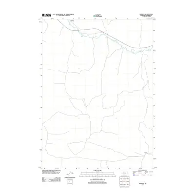
1986 Norway
Thomas County, NE
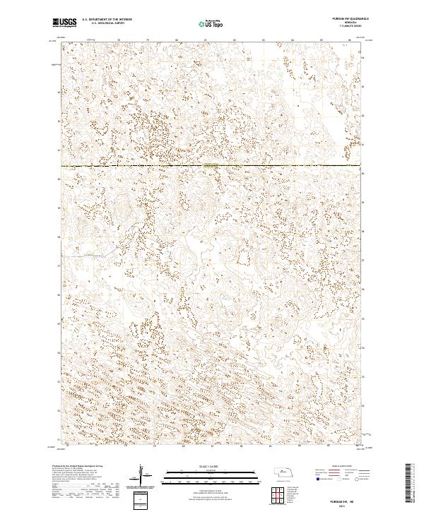
1986 Purdum SW
Thomas County, NE
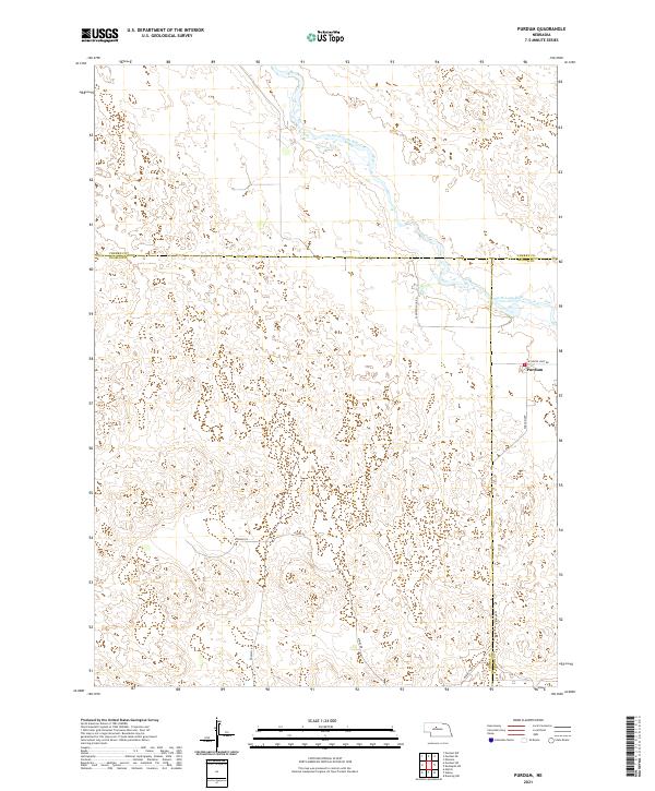
1986 Purdum
Thomas County, NE
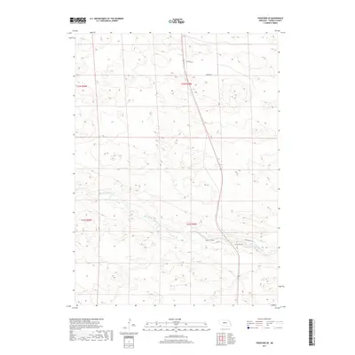
1986 Thedford SE
Thomas County, NE
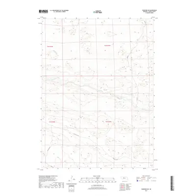
1986 Thedford SW
Thomas County, NE
2011 Duck Lake SE
Thomas County, NE
2011 Duck Lake SW
Thomas County, NE
2011 Halsey SE
Thomas County, NE
2011 Halsey SW
Thomas County, NE
2011 Natick
Thomas County, NE
2011 Norway
Thomas County, NE
2011 Purdum SW
Thomas County, NE
2011 Purdum
Thomas County, NE
2011 Shimmins Lake NE
Thomas County, NE
2011 Shimmins Lake SE
Thomas County, NE
2011 Thedford SE
Thomas County, NE
2011 Thedford SW
Thomas County, NE
2014 Duck Lake SE
Thomas County, NE
2014 Duck Lake SW
Thomas County, NE
2014 Halsey SE
Thomas County, NE
2014 Halsey SW
Thomas County, NE
2014 Natick
Thomas County, NE
2014 Norway
Thomas County, NE
2014 Purdum SW
Thomas County, NE
2014 Purdum
Thomas County, NE
2014 Shimmins Lake NE
Thomas County, NE
2014 Shimmins Lake SE
Thomas County, NE
2014 Thedford SE
Thomas County, NE
2014 Thedford SW
Thomas County, NE
2017 Duck Lake SE
Thomas County, NE
2017 Duck Lake SW
Thomas County, NE
2017 Halsey SE
Thomas County, NE
2017 Halsey SW
Thomas County, NE
2017 Natick
Thomas County, NE
2017 Norway
Thomas County, NE
2017 Purdum SW
Thomas County, NE
2017 Purdum
Thomas County, NE
2017 Shimmins Lake NE
Thomas County, NE
2017 Shimmins Lake SE
Thomas County, NE
2017 Thedford SE
Thomas County, NE
2017 Thedford SW
Thomas County, NE
2021 Duck Lake SE
Thomas County, NE
2021 Duck Lake SW
Thomas County, NE
2021 Halsey SE
Thomas County, NE
2021 Halsey SW
Thomas County, NE
2021 Natick
Thomas County, NE
2021 Norway
Thomas County, NE
2021 Purdum SW
Thomas County, NE
2021 Purdum
Thomas County, NE
2021 Shimmins Lake NE
Thomas County, NE
2021 Shimmins Lake SE
Thomas County, NE
2021 Thedford SE
Thomas County, NE
2021 Thedford SW
Thomas County, NE