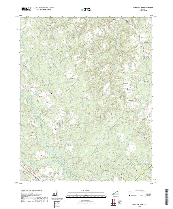
2022 Map of Disputanta North
USGS Topo · Published 2022About this map
The low-lying wetlands of Blackwater Swamp and Rotterdam Swamp dominate this part of the Virginia Coastal Plain, creating a landscape defined by intricate drainage networks. While the northern edge transitions toward the James River watershed through streams like Walls Run and Powell Cr, the southern portion is characterized by slow-moving waters such as Second Swamp and Thackets Ponds. This hydrologic pattern influenced the placement of early settlements and roads, with rural communities like Newville and Garysville situated on the higher ground between these various drainages.
Find a feature on this map
75 named features on this map. Tap any name to fly to it.
Don’t see what you’re looking for? This feature index may not catch every label — zoom into the map to look around manually.
Map Details
Editions of this 2022 Disputanta North Map
This is the sole edition of this map. No revisions or reprints were ever made.
Other maps of this area

1894 · Bermuda Hundred
USGS Topo · 1:62,500

1894 · Petersburg
USGS Topo · 1:62,500

1918 · Charles City
USGS Topo · 1:62,500

1919 · Disputanta
USGS Topo · 1:62,500

1943 · Savedge
USGS Topo · 1:31,680

1943 · Hopewell
USGS Topo · 1:31,680

1943 · Disputanta
USGS Topo · 1:31,680

1943 · Richmond
USGS Topo · 1:250,000

1944 · Waverly
USGS Topo · 1:31,680
1944 · Nebletts Mill
USGS Topo · 1:31,680