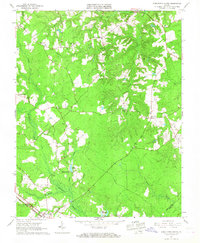
1965 Map of Disputanta North
USGS Topo · Published 1967About this map
The rural Virginia landscape of Prince George and Surry Counties is defined by the heavy, wooded drainage of Blackwater Swamp and its numerous tributaries. Just north of the Norfolk and Western rail corridor, the terrain is dotted with small country stores and community crossroads like Newville, Garysville, and Binford Store. These sites, along with rural landmarks like North Sch and the National Moorish Home, provide a detailed look at the social and economic centers of this tidewater region during the mid-1960s.
Find a feature on this map
29 named features on this map. Tap any name to fly to it.
Don’t see what you’re looking for? This feature index may not catch every label — zoom into the map to look around manually.
Map Details
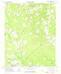
Editions of this 1965 Disputanta North Map
2 editions found
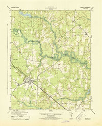
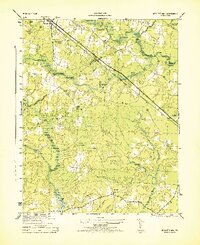
Other maps of this area

1894 · Bermuda Hundred
USGS Topo · 1:62,500

1894 · Petersburg
USGS Topo · 1:62,500

1918 · Charles City
USGS Topo · 1:62,500

1919 · Disputanta
USGS Topo · 1:62,500

1943 · Savedge
USGS Topo · 1:31,680

1943 · Hopewell
USGS Topo · 1:31,680

1943 · Disputanta
USGS Topo · 1:31,680

1943 · Richmond
USGS Topo · 1:250,000
1944 · Waverly
USGS Topo · 1:31,680
1944 · Nebletts Mill
USGS Topo · 1:31,680