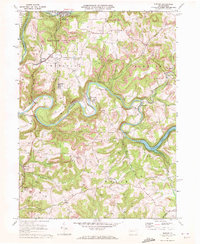
1969 Map of Distant
USGS Topo · Published 1972About this map
The Mahoning Creek Lake reservoir and the winding course of Redbank Creek define this landscape on the border of Clarion and Armstrong counties. By the late 1960s, the region shows a heavy footprint of resource extraction, with numerous strip mines and gas wells scattered across the plateau between the river valleys. The industrial character is balanced by significant natural preservation at State Game Lands No 137 and the community nodes of Distant and South Bethlehem.
Find a feature on this map
41 named features on this map. Tap any name to fly to it.
Don’t see what you’re looking for? This feature index may not catch every label — zoom into the map to look around manually.
Map Details
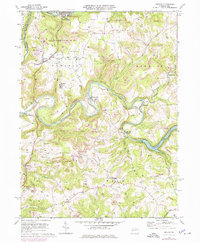
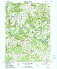
Editions of this 1969 Distant Map
3 editions found
Other maps of this area

1901 · Rural Valley
USGS Topo · 1:62,500

1903 · Rural Valley
USGS Topo · 1:62,500

1906 · Clarion
USGS Topo · 1:62,500

1907 · Clarion
USGS Topo · 1:62,500

1909 · Smicksburg
USGS Topo · 1:62,500

1924 · Brookville
USGS Topo · 1:62,500

1926 · Brookville
USGS Topo · 1:62,500

1938 · Smicksburg
USGS Topo · 1:62,500

1939 · Smicksburg
USGS Topo · 1:62,500

1944 · Brookville
USGS Topo · 1:62,500