
1965 Map of Dixie
USGS Topo · Published 1966About this map
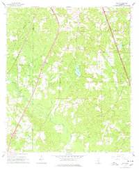
Dixie sits near the heart of this mid-1960s survey, marking a pocket of settlement along the boundary of Lamar Co and Forrest Co. The landscape is defined by its water system, where Black Creek and its many tributaries, including Bufkins Creek and Tom Creek, weave through the pine-belt topography. Local heritage is preserved in several small burial grounds and houses of worship, such as Dixie Cem, Clark Cem, and Whites Chapel.
Find a feature on this map
28 named features on this map. Tap any name to fly to it.
Don’t see what you’re looking for? This feature index may not catch every label — zoom into the map to look around manually.
Map Details
Editions of this 1965 Dixie Map
3 editions found
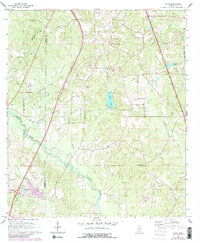
Other maps of this area

1947 · New Augusta
USGS Topo · 1:62,500

1949 · New Augusta
USGS Topo · 1:62,500

1953 · Hattiesburg
USGS Topo · 1:250,000

1958 · Hattiesburg
USGS Topo · 1:250,000

1963 · Rock Hill
USGS Topo · 1:24,000

1964 · Carterville
USGS Topo · 1:24,000

1964 · Purvis
USGS Topo · 1:24,000

1964 · Hattiesburg
USGS Topo · 1:24,000

1964 · Lumberton
USGS Topo · 1:24,000

1965 · Hattiesburg SW
USGS Topo · 1:24,000