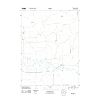
2012 Map of Dixon
USGS Topo · Published 2012About this map
The Little Snake River meanders across the southern border of this Wyoming and Colorado frontier, sustaining the small settlement of Dixon. This landscape is defined by the agricultural infrastructure of the high desert, where the First Mesa Ditch and West Side Canal channel water through the river valley. To the north, the terrain rises sharply into the high country of Muddy Mountain and Eversole Basin, cut by deep drainage features like Coal Mine Draw and Hicox Draw.
Find a feature on this map
27 named features on this map. Tap any name to fly to it.
Don’t see what you’re looking for? This feature index may not catch every label — zoom into the map to look around manually.
Map Details
Editions of this 2012 Dixon Map
This is the sole edition of this map. No revisions or reprints were ever made.
Other maps of this area

1916 · Craig
USGS Topo · 1:125,000

1932 · Savery
USGS Topo · 1:96,000

1940 · Savery
USGS Topo · 1:125,000

1954 · Rawlins
USGS Topo · 1:250,000

1954 · Craig
USGS Topo · 1:250,000

1957 · Craig
USGS Topo · 1:250,000

1957 · Baggs
USGS Topo · 1:62,500

1958 · Rawlins
USGS Topo · 1:250,000

1958 · Craig
USGS Topo · 1:250,000

1960 · Craig
USGS Topo · 1:250,000