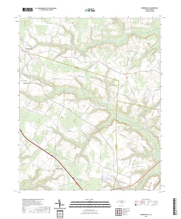
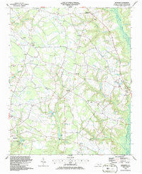
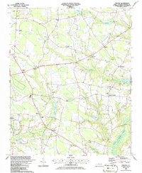
2022 Map of Dobbersville
USGS Topo · Published 2022About this map
Dobbersville serves as the focal point of this agricultural and wetland landscape at the junction of Wayne, Sampson, and Duplin counties. The terrain is defined by an extensive network of blackwater drainage, where Thoroughfare Swamp and Goshen Swamp dominate the low-lying areas. These hydrologic features, alongside smaller tributaries like Railer Br and Youngs Swamp, have historically dictated the placement of settlements and transport corridors in this part of North Carolina.
Find a feature on this map
59 named features on this map. Tap any name to fly to it.
Don’t see what you’re looking for? This feature index may not catch every label — zoom into the map to look around manually.
Map Details
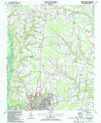
Editions of this 2022 Dobbersville Map
This is the sole edition of this map. No revisions or reprints were ever made.
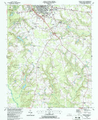
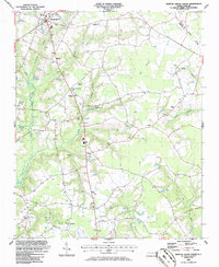
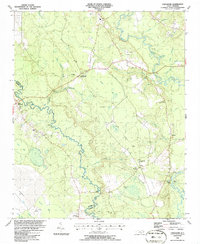
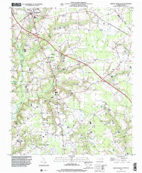
Historical Maps of Wayne County Through Time
20 maps found
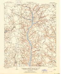
1909 Coharie
Sampson County, NC
1974 Mingo
Sampson County, NC
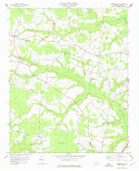
1978 Dobbersville
Sampson County, NC
1986 Bearskin
Sampson County, NC
1986 Clinton North
Sampson County, NC
1986 Clinton South
Sampson County, NC
1986 Newton Grove South
Sampson County, NC
1986 Timothy
Sampson County, NC
1986 Tomahawk
Sampson County, NC
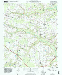
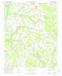
1997 Dobbersville
Sampson County, NC
1997 Newton Grove South
Sampson County, NC
1997 Timothy
Sampson County, NC
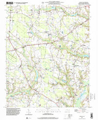
2022 Bearskin
Sampson County, NC
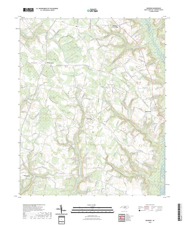
2022 Clinton North
Sampson County, NC
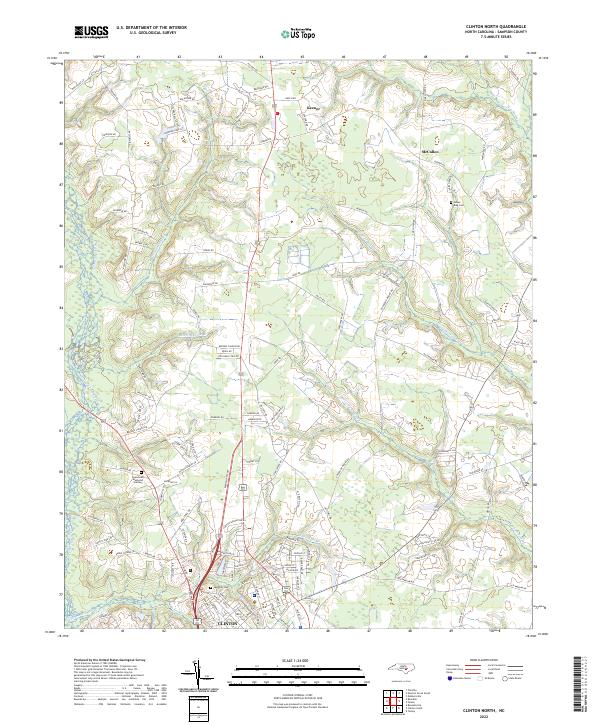
2022 Clinton South
Sampson County, NC
2022 Dobbersville
Sampson County, NC
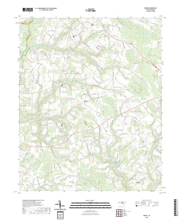
2022 Mingo
Sampson County, NC
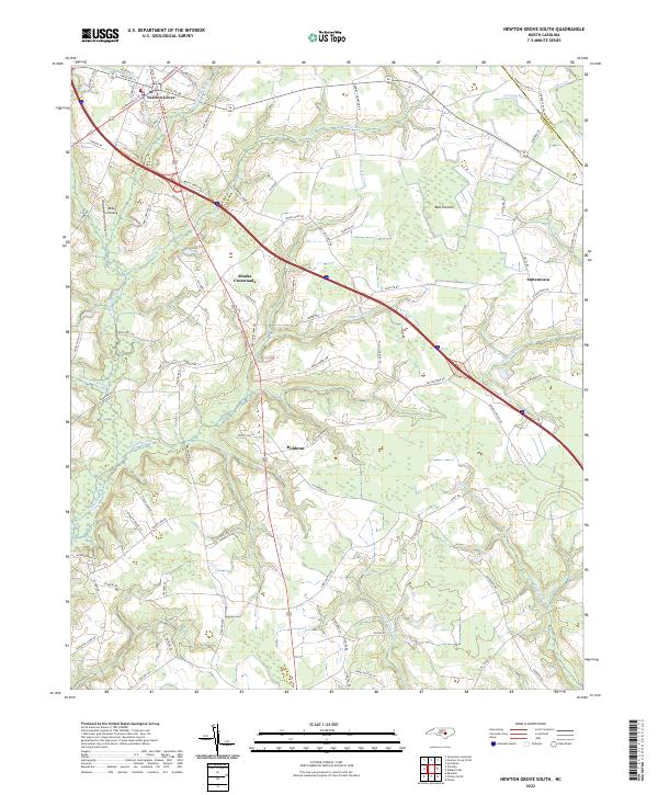
2022 Newton Grove South
Sampson County, NC
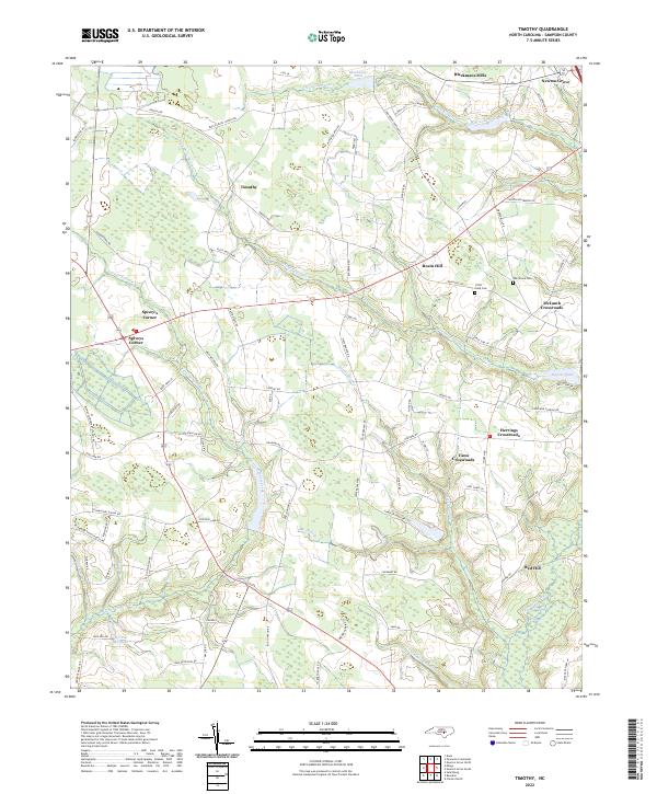
2022 Timothy
Sampson County, NC
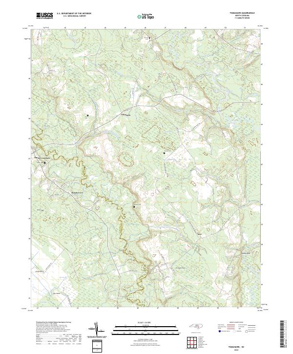
2022 Tomahawk
Sampson County, NC