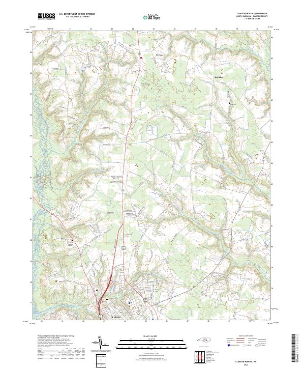
2022 Map of Clinton North
USGS Topo · Published 2022About this map
The northern reaches of Clinton anchor the southern edge of this map, where residential streets give way to the sprawling agricultural and marshy terrain of Sampson County. This landscape is defined by an intricate network of wetlands, including the expansive Beaverdam Swamp and Gilmore Swamp, which feed into numerous small waterways such as Royal Mill Br and Williams Old Mill Br. These names suggest a legacy of local milling and early industry along the water.
Find a feature on this map
119 named features on this map. Tap any name to fly to it.
Don’t see what you’re looking for? This feature index may not catch every label — zoom into the map to look around manually.
Map Details
Editions of this 2022 Clinton North Map
This is the sole edition of this map. No revisions or reprints were ever made.
Other maps of this area

1909 · Coharie
USGS Topo · 1:62,500

1953 · Florence
USGS Topo · 1:250,000

1953 · Raleigh
USGS Topo · 1:250,000

1954 · Florence
USGS Topo · 1:250,000

1954 · Raleigh
USGS Topo · 1:250,000

1959 · Garland
USGS Topo · 1:62,500

1962 · Rose Hill
USGS Topo · 1:62,500

1975 · Faison
USGS Topo · 1:24,000
1978 · Dobbersville
USGS Topo · 1:24,000

1982 · Elizabethtown
USGS Topo · 1:100,000