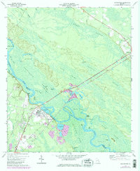
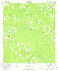
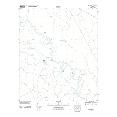
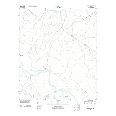
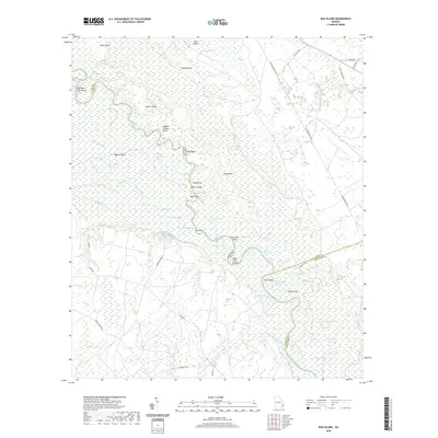
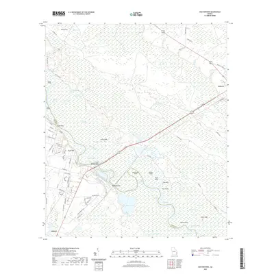
1970 Map of Doctortown
USGS Topo · Published 1997About this map
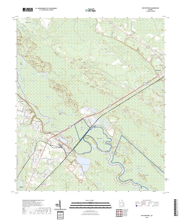
Doctortown and the surrounding river bottoms of Long and Wayne Counties are captured here as they appeared in 1970, showing the intersection of heavy industrial infrastructure and the sprawling Altamaha River basin. Industrial activity is prominent around Doctortown, marked by several industrial waste ponds and a large facility near the riverbank. Further north, the town of Ludowici stands along the rail corridor, accompanied by the Elem Ch and a local Cem.
Find a feature on this map
61 named features on this map. Tap any name to fly to it.
Don’t see what you’re looking for? This feature index may not catch every label — zoom into the map to look around manually.
Map Details
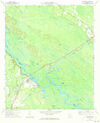
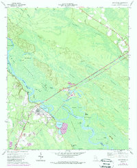
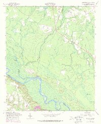
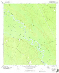
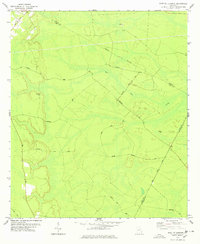
Editions of this 1970 Doctortown Map
Historical Maps of Jesup Through Time
36 maps found
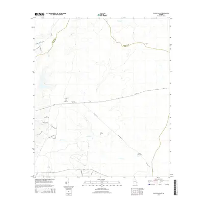
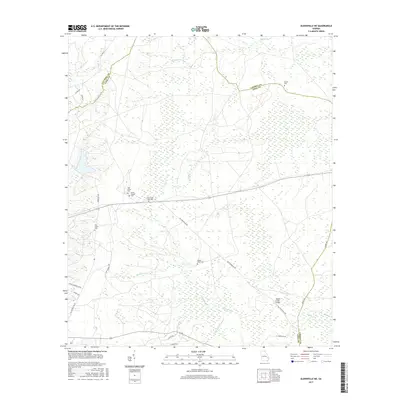
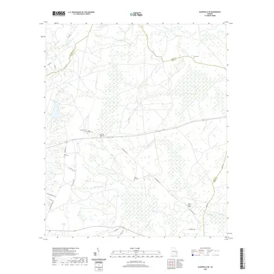
1958 Glennville NE
Long County, GA
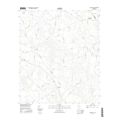
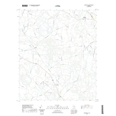
1958 Glennville SE
Long County, GA
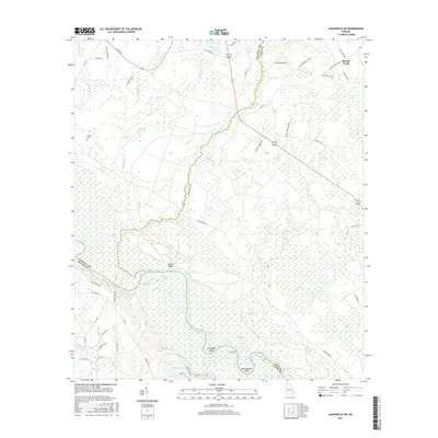
1958 Glennville SW
Long County, GA
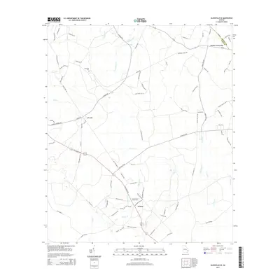
1970 Doctortown
Long County, GA
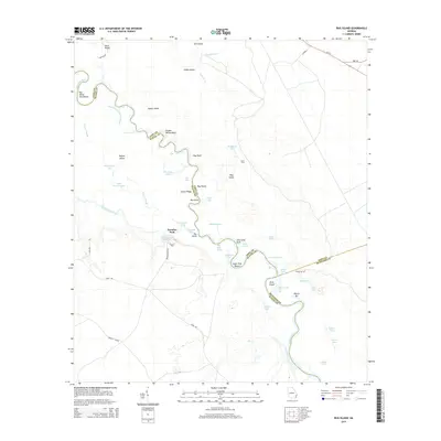
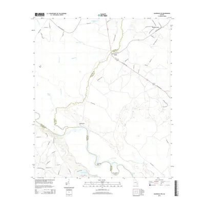
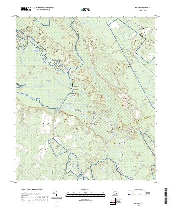
1978 Bug Island
Long County, GA
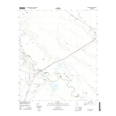
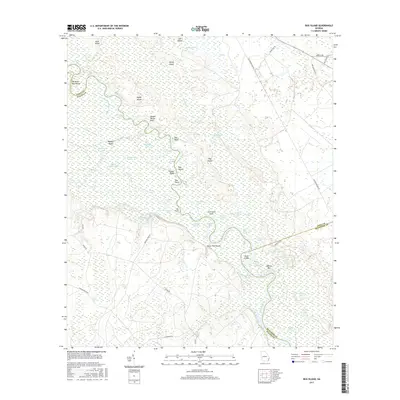
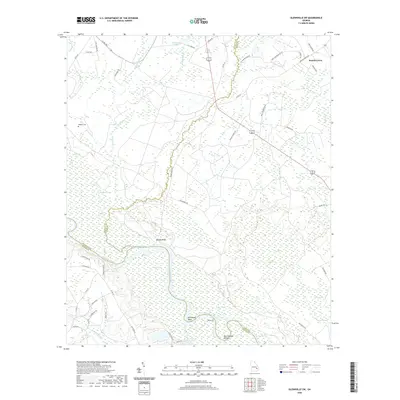
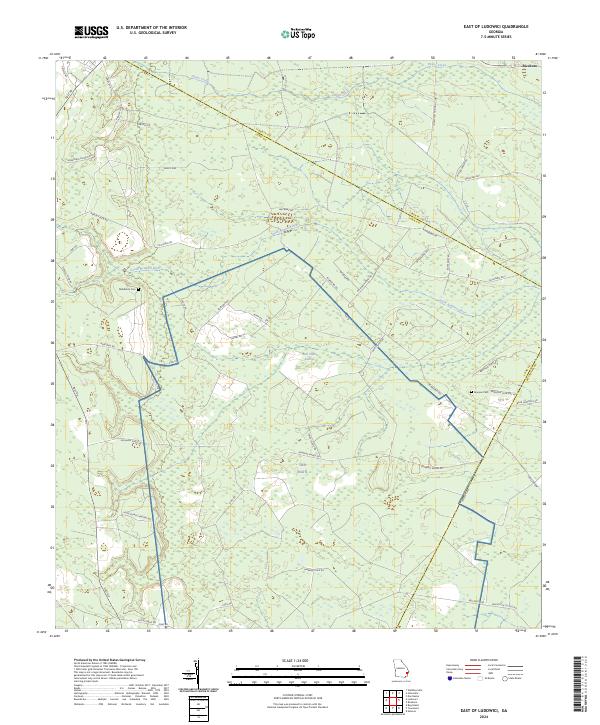
1978 East Of Ludowici
Long County, GA
2011 Bug Island
Long County, GA
2011 Doctortown
Long County, GA

2011 East of Ludowici
Long County, GA
2011 Glennville NE
Long County, GA
2011 Glennville SE
Long County, GA
2011 Glennville SW
Long County, GA
2014 Bug Island
Long County, GA
2014 Doctortown
Long County, GA

2014 East of Ludowici
Long County, GA
2014 Glennville NE
Long County, GA
2014 Glennville SE
Long County, GA
2014 Glennville SW
Long County, GA
2017 Bug Island
Long County, GA
2017 Doctortown
Long County, GA

2017 East of Ludowici
Long County, GA
2017 Glennville NE
Long County, GA
2017 Glennville SE
Long County, GA
2017 Glennville SW
Long County, GA
2020 Bug Island
Long County, GA
2020 Doctortown
Long County, GA

2020 East of Ludowici
Long County, GA
2020 Glennville NE
Long County, GA
2020 Glennville SE
Long County, GA
2020 Glennville SW
Long County, GA
2024 Bug Island
Long County, GA
2024 Doctortown
Long County, GA
2024 East of Ludowici
Long County, GA
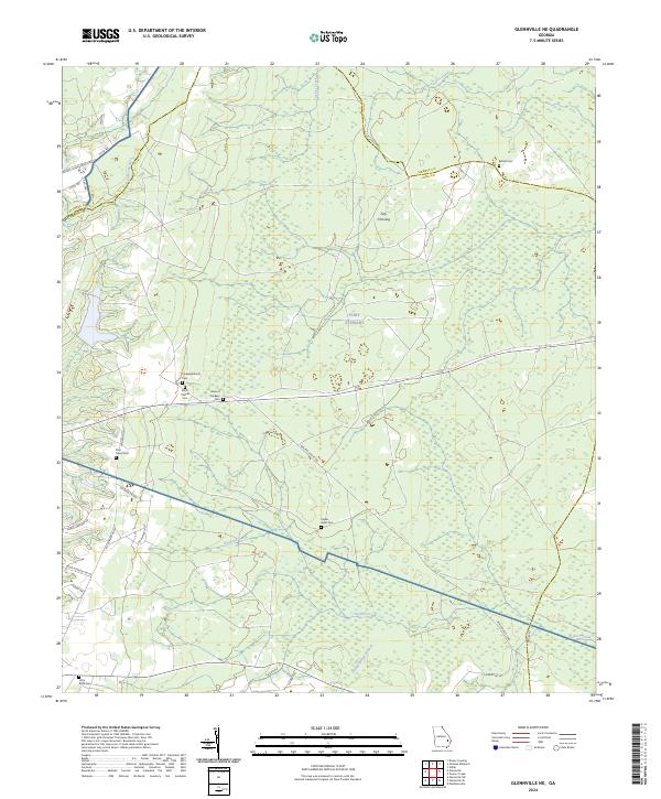
2024 Glennville NE
Long County, GA
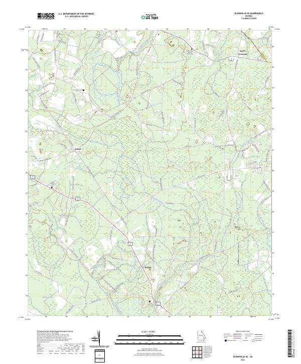
2024 Glennville SE
Long County, GA
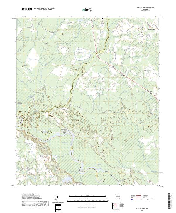
2024 Glennville SW
Long County, GA