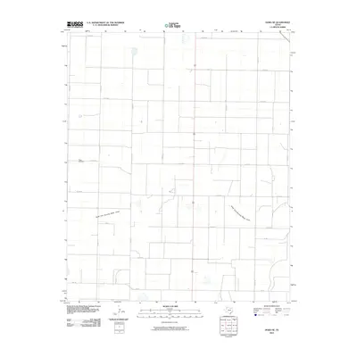
2010 Map of Dodd NE
USGS Topo · Published 2010About this map
Flagg Cemetery stands as a quiet focal point in this portion of the Texas Panhandle, situated near the intersection of several county roads in Castro County. The landscape is characterized by the expansive, gridded network of rural routes such as Co Rd 618 and Co Rd 510, which delineate the agricultural parcels of this high plains region. The most significant natural drainage feature is the North Fork Running Water Draw, which winds its way across the southern half of the quadrangle. This 2010 survey by the U.S. Geological Survey documents a sparse but deliberate settlement pattern, where infrastructure like Fm 145 and R 518 provides essential connectivity between isolated farmsteads and larger regional centers. The map provides a precise record of water management and land division in an area where local hydrology and transportation are central to community life.
Find a feature on this map
18 named features on this map. Tap any name to fly to it.
Don’t see what you’re looking for? This feature index may not catch every label — zoom into the map to look around manually.
Map Details
Editions of this 2010 Dodd NE Map
This is the sole edition of this map. No revisions or reprints were ever made.
Other maps of this area

1954 · Clovis
USGS Topo · 1:250,000

1958 · Clovis
USGS Topo · 1:250,000

1962 · Dodd NE
USGS Topo · 1:24,000

1963 · Flagg
USGS Topo · 1:24,000

1963 · Hart NW
USGS Topo · 1:24,000

1963 · Dodd SE
USGS Topo · 1:24,000

1963 · Dodd
USGS Topo · 1:24,000

1963 · Hart SW
USGS Topo · 1:24,000

1965 · Dimmitt
USGS Topo · 1:24,000

1965 · Dimmitt SW
USGS Topo · 1:24,000