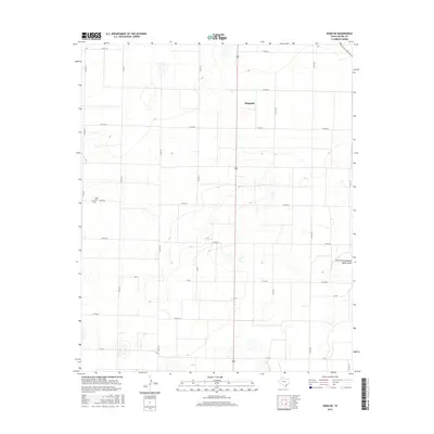
2016 Map of Dodd NE
USGS Topo · Published 2016About this map
Dimmitt serves as the focal point for this section of the Texas Panhandle, where the landscape is defined by a meticulous grid of rural routes and the subtle drainage patterns of the Llano Estacado. The terrain is largely dominated by agricultural parcels bisected by an extensive network of county roads, such as Co Rd 618 and Co Rd 510, which facilitate movement across the High Plains. A significant landmark for local history and genealogy is the Flagg Cem, located near the intersection of Co Rd 510 and Co Rd 622. The most prominent natural feature is the North Fork Running Water Draw, which wanders through the eastern portion of the quadrangle. This intermittent waterway provides a rare interruption to the uniform elevation of the surrounding plains, tracing a path that has likely influenced local land use for generations.
Find a feature on this map
21 named features on this map. Tap any name to fly to it.
Don’t see what you’re looking for? This feature index may not catch every label — zoom into the map to look around manually.
Map Details
Editions of this 2016 Dodd NE Map
This is the sole edition of this map. No revisions or reprints were ever made.
Other maps of this area

1954 · Clovis
USGS Topo · 1:250,000

1958 · Clovis
USGS Topo · 1:250,000

1962 · Dodd NE
USGS Topo · 1:24,000

1963 · Flagg
USGS Topo · 1:24,000

1963 · Hart NW
USGS Topo · 1:24,000

1963 · Dodd SE
USGS Topo · 1:24,000

1963 · Dodd
USGS Topo · 1:24,000

1963 · Hart SW
USGS Topo · 1:24,000

1965 · Dimmitt
USGS Topo · 1:24,000

1965 · Dimmitt SW
USGS Topo · 1:24,000