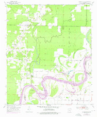
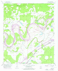
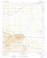
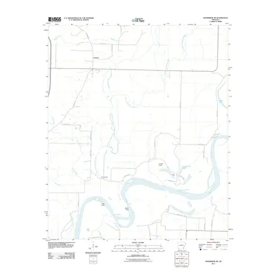
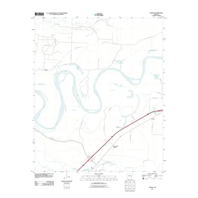
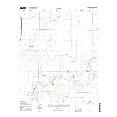
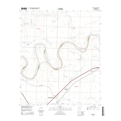
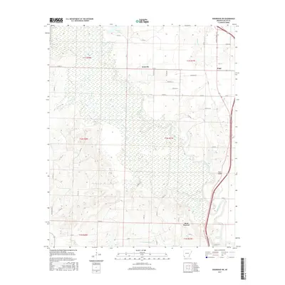
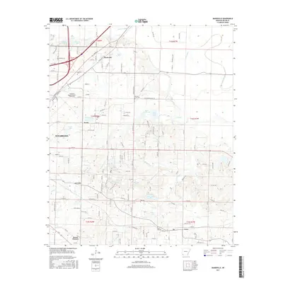
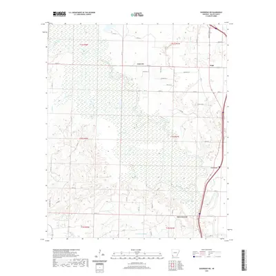
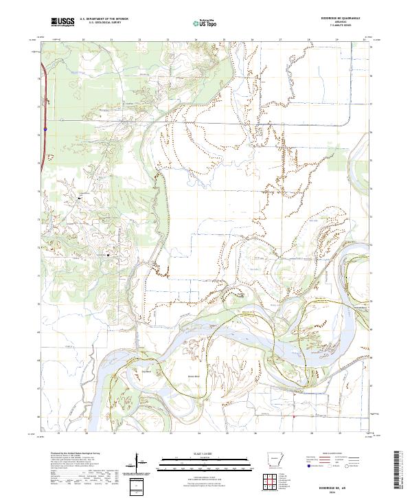
1952 Map of Doddridge NE
USGS Topo · Published 1976About this map
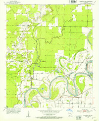
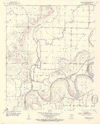
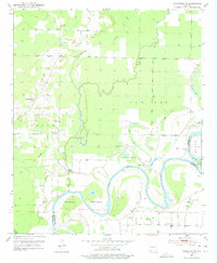
McKinney Bayou and Old Channel Bayou wind through this alluvial landscape, documenting the complex hydrological history of the Red River basin. The area is marked by numerous oxbow remnants like Bee Lake, Oak Lake, and Goose Lake, which highlight the river's shifting path over time. Settlement patterns in this 1950s survey follow the higher ground near the levee systems, with several country churches serving the community, including Fairland Ch, Corinth Ch, and Red River Ch.
Find a feature on this map
28 named features on this map. Tap any name to fly to it.
Don’t see what you’re looking for? This feature index may not catch every label — zoom into the map to look around manually.
Map Details
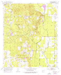
Editions of this 1952 Doddridge NE Map
5 editions found
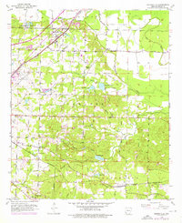
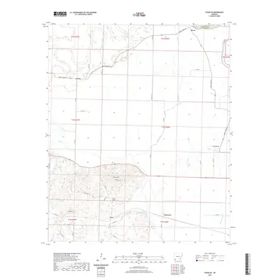
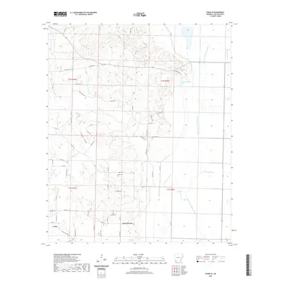
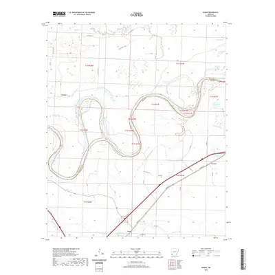
Historical Maps of Fairland Through Time
47 maps found
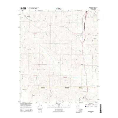
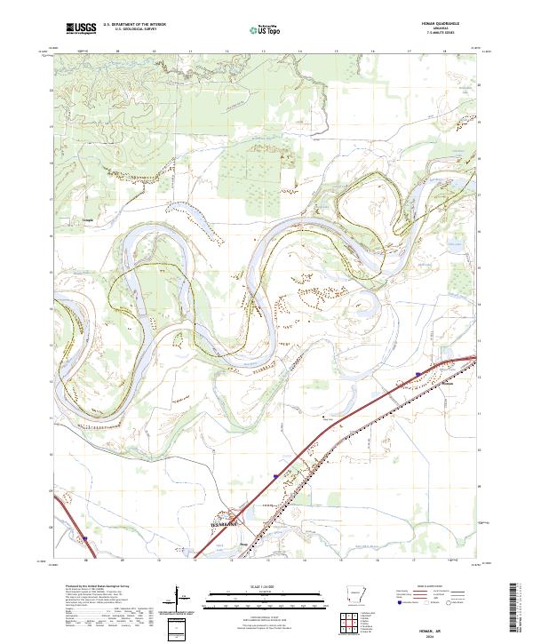
1951 Homan
Miller County, AR
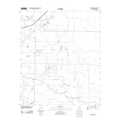
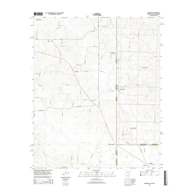
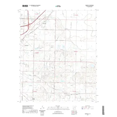
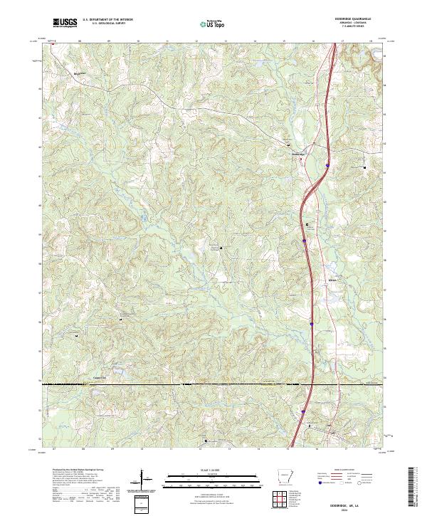
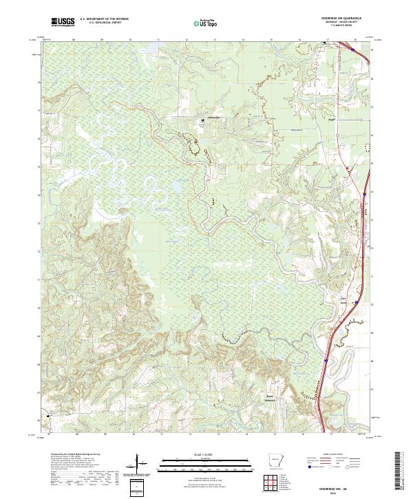
1952 Doddridge
Miller County, AR
1952 Doddridge NE
Miller County, AR
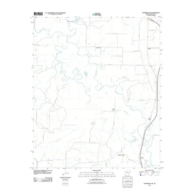
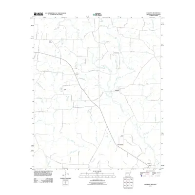
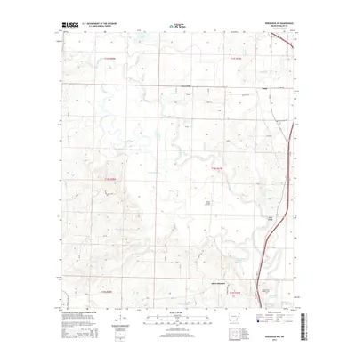
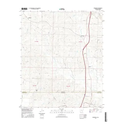
1952 Doddridge NW
Miller County, AR
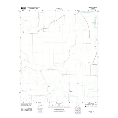
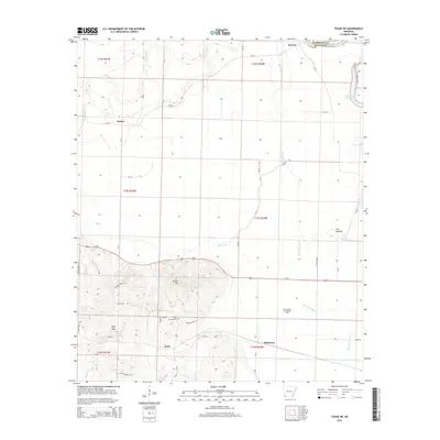
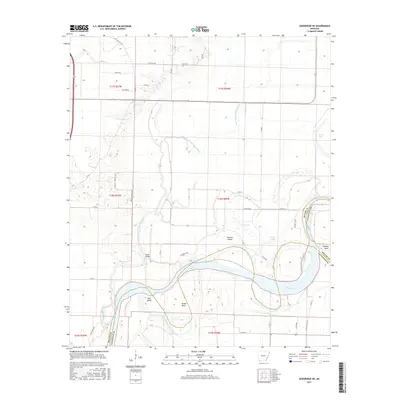
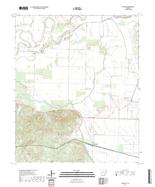
1952 Fouke NE
Miller County, AR
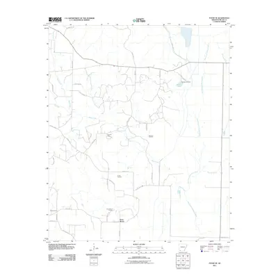
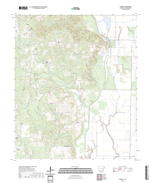
1952 Fouke SE
Miller County, AR
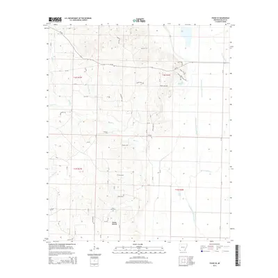
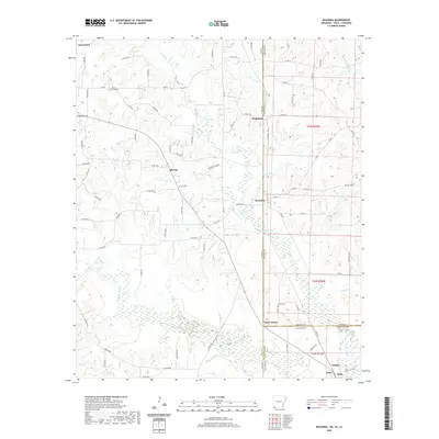
1952 Mandeville
Miller County, AR
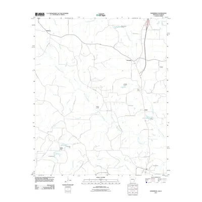
2011 Doddridge
Miller County, AR
2011 Doddridge NE
Miller County, AR
2011 Doddridge NW
Miller County, AR
2011 Fouke NE
Miller County, AR
2011 Fouke SE
Miller County, AR
2011 Homan
Miller County, AR
2011 Mandeville
Miller County, AR
2011 Ravanna
Miller County, AR
2014 Doddridge
Miller County, AR
2014 Doddridge NE
Miller County, AR
2014 Doddridge NW
Miller County, AR
2014 Fouke NE
Miller County, AR
2014 Fouke SE
Miller County, AR
2014 Homan
Miller County, AR

2014 Mandeville
Miller County, AR
2014 Ravanna
Miller County, AR
2017 Doddridge
Miller County, AR
2017 Doddridge NE
Miller County, AR
2017 Doddridge NW
Miller County, AR
2017 Fouke NE
Miller County, AR
2017 Fouke SE
Miller County, AR
2017 Homan
Miller County, AR
2017 Mandeville
Miller County, AR
2017 Ravanna
Miller County, AR
2020 Doddridge
Miller County, AR
2020 Doddridge NE
Miller County, AR
2020 Doddridge NW
Miller County, AR
2020 Fouke NE
Miller County, AR
2020 Fouke SE
Miller County, AR
2020 Homan
Miller County, AR
2020 Mandeville
Miller County, AR
2020 Ravanna
Miller County, AR
2024 Doddridge
Miller County, AR
2024 Doddridge NE
Miller County, AR
2024 Doddridge NW
Miller County, AR
2024 Fouke NE
Miller County, AR
2024 Fouke SE
Miller County, AR
2024 Homan
Miller County, AR
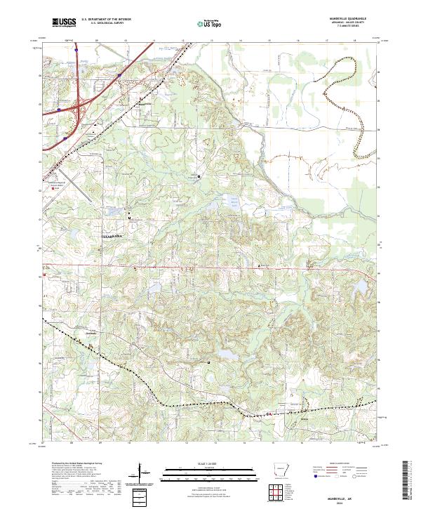
2024 Mandeville
Miller County, AR
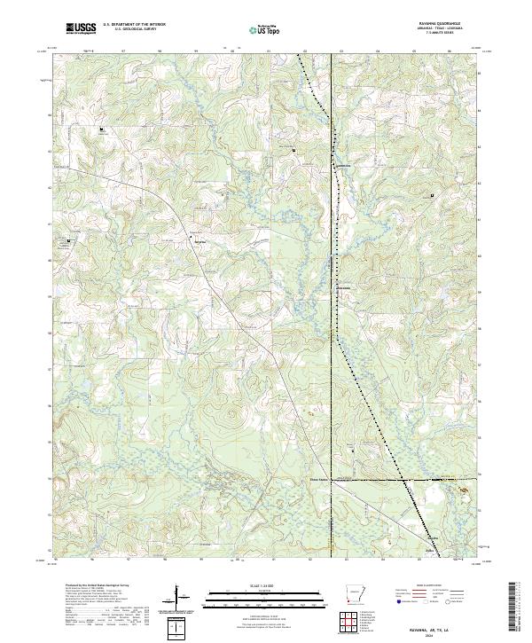
2024 Ravanna
Miller County, AR