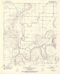
1952 Map of Doddridge NE
USGS Topo · Published 1953About this map
McKinney Bayou and its winding tributaries dominate this 1950s landscape, illustrating the intricate drainage patterns where Miller and Lafayette counties meet. The alluvial character of the land is defined by the sweeping curves of the Red River, which creates distinctive geographical features like Hunters Island, Dixon Bend, and Slay Bend. This era shows a rural society centered around agricultural production and community faith, evidenced by the Valley Gin and a high density of country churches such as Fairland Ch, Independence Ch, and Pleasant Valley Ch. The inclusion of a Floodgate and the Old Channel highlights early efforts to manage the river's influence on the surrounding farmland. For those tracing local history, the network of creek crossings and landmarks like Beloh Bridge provides clear evidence of mid-century rural connectivity.
Find a feature on this map
30 named features on this map. Tap any name to fly to it.
Don’t see what you’re looking for? This feature index may not catch every label — zoom into the map to look around manually.
Map Details
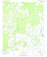
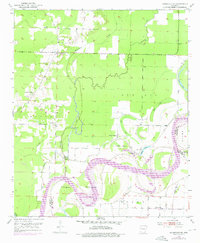
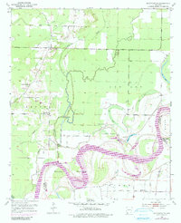
Editions of this 1952 Doddridge NE Map
5 editions found
Other maps of this area

1952 · Doddridge SE
USGS Topo · 1:24,000

1952 · Bradley
USGS Topo · 1:24,000

1952 · Garland
USGS Topo · 1:24,000

1952 · Doddridge NW
USGS Topo · 1:24,000

1952 · Doddridge
USGS Topo · 1:24,000

1952 · Fouke SE
USGS Topo · 1:24,000

1952 · Doddridge NE
USGS Topo · 1:24,000

1952 · Fouke
USGS Topo · 1:24,000

1952 · Canfield
USGS Topo · 1:24,000

1953 · El Dorado
USGS Topo · 1:250,000