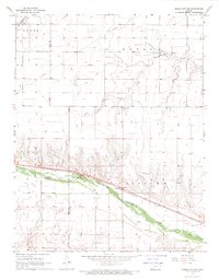
1968 Map of Dodge City SW
USGS Topo · Published 1969About this map
The Arkansas River valley dominates this western Kansas landscape, carved by an Abandoned Canal and the critical corridor of the Atchison Topeka and Santa Fe railroad. These transit lines follow the river's northern bank through the township of Fairview, where the small cluster at Howell includes a Townhall and local infrastructure. North of the river, the terrain breaks into more dissected uplands drained by Saw Log Creek, crossing through the districts of Royal and Foot E. Genealogists and local historians will find the Ridenour Cem located in the rolling prairie between these creek beds and the river valley. The map documents a rural transition where the historic river-and-rail economy persists alongside modern utility additions like the Pipeline that traverses the northern sections.
Find a feature on this map
13 named features on this map. Tap any name to fly to it.
Don’t see what you’re looking for? This feature index may not catch every label — zoom into the map to look around manually.
Map Details
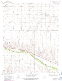
Editions of this 1968 Dodge City SW Map
2 editions found
Other maps of this area

1892 · Dodge
USGS Topo · 1:125,000

1955 · Dodge City
USGS Topo · 1:250,000

1958 · Dodge City
USGS Topo · 1:250,000

1959 · Dodge City
USGS Topo · 1:250,000

1968 · Dodge City NE
USGS Topo · 1:24,000

1968 · Dodge City NW
USGS Topo · 1:24,000

1968 · Cimarron
USGS Topo · 1:24,000

1968 · Cimarron NE
USGS Topo · 1:24,000

1968 · Dodge City
USGS Topo · 1:24,000
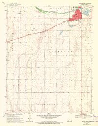
1969 · South Dodge
USGS Topo · 1:24,000