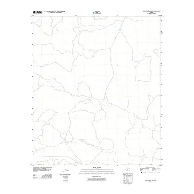
2010 Map of Dog Creek SW
USGS Topo · Published 2010About this map
West Rocky Creek and its various tributaries define the drainage patterns of this central Texas landscape in Tom Green County. The area is characterized by a network of seasonal watercourses and local ranch roads that wind through the terrain, indicating a rural environment focused on livestock or land management. FM 2034 serves as the primary paved corridor, connecting the remote drainage basins of Little Mulberry Creek and Dry Creek. This 2010 survey reflects the modern road infrastructure and hydrological mapping of the region, where the sparse placement of named features highlights the quiet, open nature of the West Texas countryside.
Find a feature on this map
4 named features on this map. Tap any name to fly to it.
Don’t see what you’re looking for? This feature index may not catch every label — zoom into the map to look around manually.
Map Details
Editions of this 2010 Dog Creek SW Map
This is the sole edition of this map. No revisions or reprints were ever made.
Other maps of this area

1895 · Sherwood
USGS Topo · 1:125,000

1921 · Ketchum Mountain
USGS Topo · 1:62,500

1923 · Ketchum Mountain
USGS Topo · 1:62,500

1954 · San Angelo
USGS Topo · 1:250,000

1958 · San Angelo
USGS Topo · 1:250,000

1965 · San Angelo
USGS Topo · 1:250,000

1972 · Arden
USGS Topo · 1:24,000

1972 · Dog Creek NE
USGS Topo · 1:24,000

1972 · Wallace Draw
USGS Topo · 1:24,000

1972 · Dog Creek SW
USGS Topo · 1:24,000