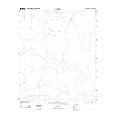
2012 Map of Dog Creek SW
USGS Topo · Published 2012About this map
Little Mulberry Cr and W Rocky Cr define the drainage patterns of this rural landscape in Tom Green County. The area is characterized by open terrain and ephemeral watercourses, including the eastern Dry Cr, which highlight the arid environment of West Texas. Modern transportation routes such as Ranch Road 2034 and Farm-To-Market Road 2034 provide the primary infrastructure for the sparsely populated region, connecting ranching lands to broader county networks. The 2012 survey by the U.S. Geological Survey also notes specific identifiers like 117-P and 119-P, which likely correspond to benchmarks or survey points used to maintain geographic precision in this remote section of the Dog Creek SW quadrangle.
Find a feature on this map
7 named features on this map. Tap any name to fly to it.
Don’t see what you’re looking for? This feature index may not catch every label — zoom into the map to look around manually.
Map Details
Editions of this 2012 Dog Creek SW Map
This is the sole edition of this map. No revisions or reprints were ever made.
Other maps of this area

1895 · Sherwood
USGS Topo · 1:125,000

1921 · Ketchum Mountain
USGS Topo · 1:62,500

1923 · Ketchum Mountain
USGS Topo · 1:62,500

1954 · San Angelo
USGS Topo · 1:250,000

1958 · San Angelo
USGS Topo · 1:250,000

1965 · San Angelo
USGS Topo · 1:250,000

1972 · Arden
USGS Topo · 1:24,000

1972 · Dog Creek NE
USGS Topo · 1:24,000

1972 · Wallace Draw
USGS Topo · 1:24,000

1972 · Dog Creek SW
USGS Topo · 1:24,000