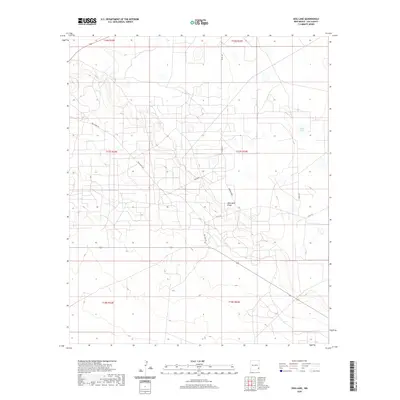
2020 Map of Dog Lake
USGS Topo · Published 2020About this map
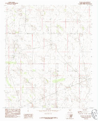
Mescalero Ridge dominates the central topography of this Lea County landscape, carving a distinct geological line through the High Plains. The area is defined by a sparse network of ranch roads and oil field access routes, such as Tomahawk and Hummingbird, which weave through the arid basin. Water features are rare in this environment, making the presence of White Lake in the eastern section particularly significant for understanding local drainage patterns and land use. The map illustrates a traditional township and range grid, showing the organization of T16S through T18S. This modern survey reflects the enduring cattle and energy-driven character of the region, where roads like Mescalero Rd and Dog Lake Rd provide the primary infrastructure for traversing the expansive, open terrain typical of southeastern New Mexico.
Find a feature on this map
15 named features on this map. Tap any name to fly to it.
Don’t see what you’re looking for? This feature index may not catch every label — zoom into the map to look around manually.
Map Details
Editions of this 2020 Dog Lake Map
This is the sole edition of this map. No revisions or reprints were ever made.
Other maps of this area
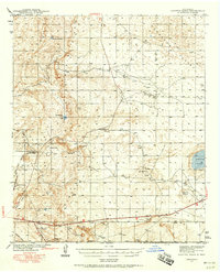
1942 · Clayton Basin
USGS Topo · 1:62,500
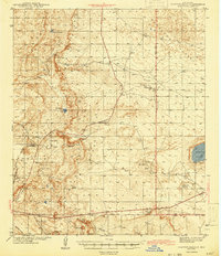
1943 · Clayton Basin
USGS Topo · 1:62,500

1954 · Hobbs
USGS Topo · 1:250,000

1958 · Hobbs
USGS Topo · 1:250,000
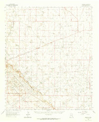
1962 · Buckeye
USGS Topo · 1:62,500
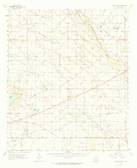
1963 · Laguna Gatuna
USGS Topo · 1:62,500
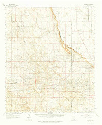
1963 · Maljamar
USGS Topo · 1:62,500
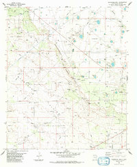
1984 · Ironhouse Well
USGS Topo · 1:24,000
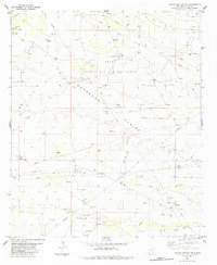
1984 · Laguna Gatuna NW
USGS Topo · 1:24,000
1985 · Buckeye NW
USGS Topo · 1:24,000