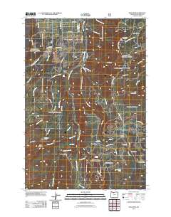
2011 Map of Dog River
USGS Topo · Published 2011About this map
The Dalles City Waterworks sits at the heart of this landscape, highlighting the critical role of the regional watershed in supporting more distant populations. The terrain is defined by a succession of high-altitude openings such as Gibson Prairie, Brooks Meadow, and Cooks Meadow, which historically served as vital grazing and stopping points for early travelers crossing the Cascades. Water remains the dominant feature, with the East Fork Hood River and its tributaries, including Tilly Jane Creek and Polallie Creek, carving deep paths through the timber. Recreation is anchored by sites like Gibson Prairie Horse Camp and the Cooper Spur Ski Area, while natural landmarks such as Tamanawas Falls and the towering Mill Creek Buttes draw the eye toward the area's geological complexity. This era of forest management is reflected in the extensive network of timber roads, including Surveyors Ridge Rd and Brooks Meadow Rd.
Find a feature on this map
59 named features on this map. Tap any name to fly to it.
Don’t see what you’re looking for? This feature index may not catch every label — zoom into the map to look around manually.
Map Details
Editions of this 2011 Dog River Map
This is the sole edition of this map. No revisions or reprints were ever made.
Other maps of this area

1924 · Mount Hood
USGS Topo · 1:125,000

1926 · Hood River
USGS Topo · 1:125,000

1927 · Mount Hood
USGS Topo · 1:125,000

1929 · Hood River
USGS Topo · 1:125,000

1930 · Dufur
USGS Topo · 1:125,000

1934 · Dufur
USGS Topo · 1:125,000

1934 · The Dalles
USGS Topo · 1:125,000

1953 · The Dalles
USGS Topo · 1:250,000

1956 · The Dalles
USGS Topo · 1:250,000

1957 · The Dalles
USGS Topo · 1:250,000