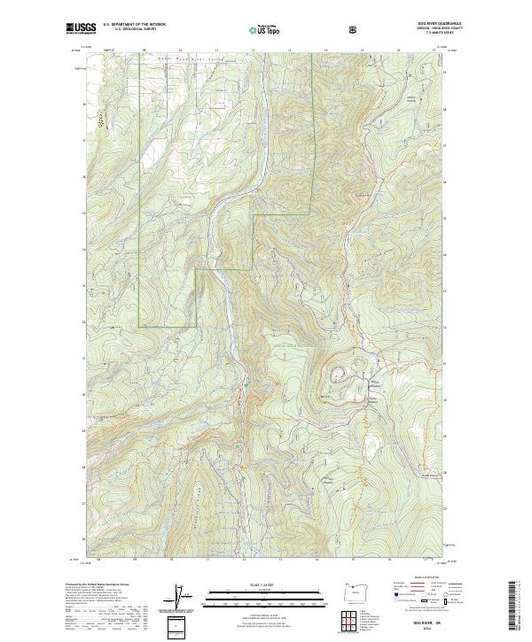
2024 Map of Dog River
USGS Topo · Published 2024About this map
The Upper Hood River Valley transitions into the high-elevation terrain of the Mount Hood National Forest on this 2024 map. The landscape is dominated by the East Fork Hood Wild and Scenic River and its numerous tributaries, including Evans Creek and Dog River. This survey illustrates the intricate network of forest management and recreational access, featuring the Tilly Jane Ski Trl and the Polallie Ridge Trl alongside legacy routes like Dog River Rd.
Find a feature on this map
112 named features on this map. Tap any name to fly to it.
Don’t see what you’re looking for? This feature index may not catch every label — zoom into the map to look around manually.
Map Details
Editions of this 2024 Dog River Map
This is the sole edition of this map. No revisions or reprints were ever made.
Other maps of this area

1924 · Mount Hood
USGS Topo · 1:125,000

1926 · Hood River
USGS Topo · 1:125,000

1927 · Mount Hood
USGS Topo · 1:125,000

1929 · Hood River
USGS Topo · 1:125,000

1930 · Dufur
USGS Topo · 1:125,000

1934 · Dufur
USGS Topo · 1:125,000

1934 · The Dalles
USGS Topo · 1:125,000

1953 · The Dalles
USGS Topo · 1:250,000

1956 · The Dalles
USGS Topo · 1:250,000

1957 · The Dalles
USGS Topo · 1:250,000