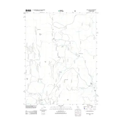
2012 Map of Dog Valley
USGS Topo · Published 2012About this map
Verdi and the nearby Sierra Pines settlement anchor the southeastern corner of this High Sierra landscape, where the Verdi Range meets the drainages of the Truckee River basin. The terrain is defined by a series of high valleys and prominent summits, including Babbitt Peak and the Bald Mountain Range in the north and Crystal Peak to the west. This area was historically significant for trans-sierran travel, evidenced here by Henness Pass Rd, a vital mid-19th-century immigrant and freight route.
Find a feature on this map
34 named features on this map. Tap any name to fly to it.
Don’t see what you’re looking for? This feature index may not catch every label — zoom into the map to look around manually.
Map Details
Editions of this 2012 Dog Valley Map
This is the sole edition of this map. No revisions or reprints were ever made.
Other maps of this area

1890 · Sierraville
USGS Topo · 1:125,000

1891 · Carson
USGS Topo · 1:125,000

1891 · Truckee
USGS Topo · 1:125,000

1891 · Reno
USGS Topo · 1:125,000

1892 · Sierraville
USGS Topo · 1:125,000

1893 · Carson
USGS Topo · 1:125,000

1893 · Truckee
USGS Topo · 1:125,000

1893 · Reno
USGS Topo · 1:125,000

1894 · Sierraville
USGS Topo · 1:125,000

1895 · Truckee
USGS Topo · 1:125,000