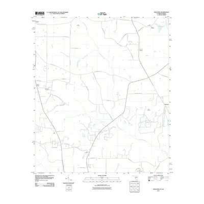
2011 Map of Dogtown
USGS Topo · Published 2011About this map
Willacoochee Creek and Betts Mill Creek define the rural hydrology of this north Florida landscape, where family lineages are etched into the map through numerous small burial grounds and named country lanes. Small settlements like Dogtown serve as focal points for a grid of roads such as Faceville Attapulgus Rd and Laslie Plantation Rd. The density of cemeteries is particularly striking for genealogists, with sites like Cool Spring Cemetery, Fain Cemetery, and Saint Hebron Cemetery scattered across the quadrangle, often adjacent to early church sites like those found along Mount Hosea Church Rd and Old Philadelphia Church Rd. This layout suggests a resilient agrarian community structure where land ownership and community identity remain closely tied to these historic family names and landmarks.
Find a feature on this map
52 named features on this map. Tap any name to fly to it.
Don’t see what you’re looking for? This feature index may not catch every label — zoom into the map to look around manually.
Map Details
Editions of this 2011 Dogtown Map
This is the sole edition of this map. No revisions or reprints were ever made.
Other maps of this area

1954 · Tallahassee
USGS Topo · 1:250,000

1955 · Bainbridge
USGS Topo · 1:62,500

1955 · Whigham
USGS Topo · 1:62,500

1955 · Mt Pleasant
USGS Topo · 1:24,000

1956 · Havana North
USGS Topo · 1:24,000

1956 · Dogtown
USGS Topo · 1:24,000

1959 · Tallahassee
USGS Topo · 1:250,000

1959 · Gretna
USGS Topo · 1:24,000

1959 · Quincy
USGS Topo · 1:24,000

1960 · Tallahassee
USGS Topo · 1:250,000