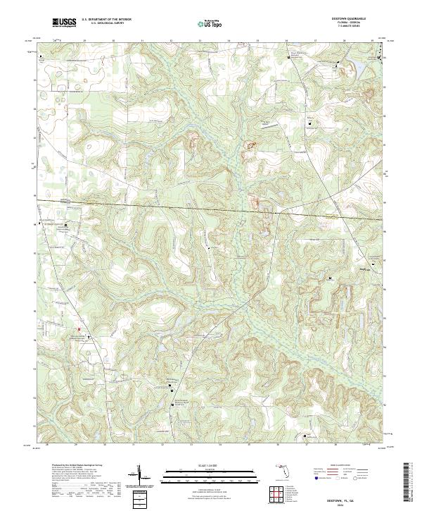
2024 Map of Dogtown
USGS Topo · Published 2024About this map
The Georgia-Florida state line bisects this landscape, marking the transition between Decatur and Gadsden counties. The terrain is defined by the drainage systems of Betts Mill Creek and Willacoochee Creek, which weave through a rural patchwork of small-scale aviation at Viola Farm Airport and sprawling agricultural interests. The settlement at Dogtown serves as a primary local focal point, though the map's true depth lies in its dense record of historic church and cemetery sites. Notable locations such as the Lost and Forgotten Cem and Old Philadelphia Missionary Baptist Church Cem provide essential data points for local genealogy and land-use history. The presence of numerous African Methodist Episcopal sites, including the Mount Olive African Methodist Episcopal Cem, highlights the enduring cultural and religious geography established across this borderland region.
Find a feature on this map
89 named features on this map. Tap any name to fly to it.
Don’t see what you’re looking for? This feature index may not catch every label — zoom into the map to look around manually.
Map Details
Editions of this 2024 Dogtown Map
This is the sole edition of this map. No revisions or reprints were ever made.
Other maps of this area

1954 · Tallahassee
USGS Topo · 1:250,000

1955 · Bainbridge
USGS Topo · 1:62,500

1955 · Whigham
USGS Topo · 1:62,500

1955 · Mt Pleasant
USGS Topo · 1:24,000

1956 · Havana North
USGS Topo · 1:24,000

1956 · Dogtown
USGS Topo · 1:24,000

1959 · Tallahassee
USGS Topo · 1:250,000

1959 · Gretna
USGS Topo · 1:24,000

1959 · Quincy
USGS Topo · 1:24,000

1960 · Tallahassee
USGS Topo · 1:250,000