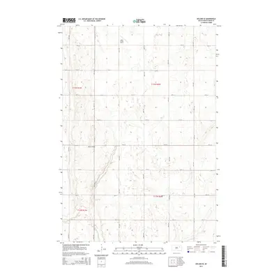
2015 Map of Doland SE
USGS Topo · Published 2015About this map
Doland Ridge provides a subtle topographic rise across this portion of Spink County, a characteristic feature of the Glacial Lake Agassiz plain. The landscape is defined by its precise grid of section-line roads, such as 178th St and 407th Ave, which partition the territory into the agricultural squares typical of the Public Land Survey System. Within this orderly arrangement, Mirage Lake appears as a notable hydrological feature, reflecting the numerous small depressions and basins common to this prairie region. The inclusion of the Hofer Private Airport in the northern section highlights the intersection of modern aviation with rural land use, where private airstrips support local transportation and aerial application in the broad, open stretches of the eastern South Dakota plains.
Find a feature on this map
21 named features on this map. Tap any name to fly to it.
Don’t see what you’re looking for? This feature index may not catch every label — zoom into the map to look around manually.
Map Details
Editions of this 2015 Doland SE Map
This is the sole edition of this map. No revisions or reprints were ever made.
Other maps of this area

1895 · Byron
USGS Topo · 1:125,000

1953 · Huron
USGS Topo · 1:250,000

1953 · Watertown
USGS Topo · 1:250,000

1954 · Huron
USGS Topo · 1:250,000

1956 · Lake Byron NW
USGS Topo · 1:24,000

1956 · Doland SW
USGS Topo · 1:24,000

1958 · Watertown
USGS Topo · 1:250,000
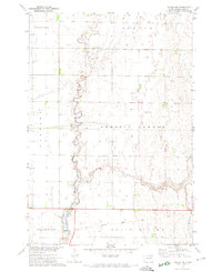
1971 · Doland NW
USGS Topo · 1:24,000
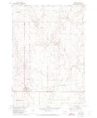
1971 · Doland
USGS Topo · 1:24,000
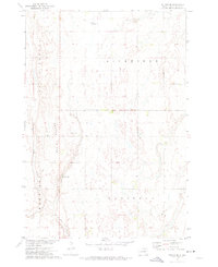
1971 · Doland SE
USGS Topo · 1:24,000
Featured Places
- Capitola Township, SD
- Belle Plaine Township, SD
- Harrison Township, SD
- Richfield Township, SD
- Spink County, SD