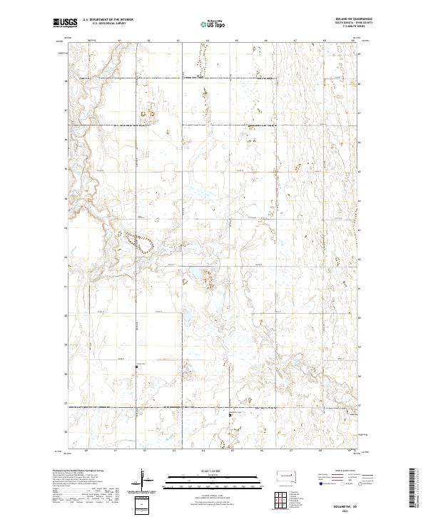
2021 Map of Doland SW
USGS Topo · Published 2021About this map
Timber Creek meanders through the northwestern corner of this Spink County landscape, carving a subtle path through the agricultural grid of south-central South Dakota. This modern survey illustrates the enduring Public Land Survey System layout, defined by townships t116n r62w, t116n r61w, t115n r62w, and t115n r61w. The region is marked by a high density of small, seasonal wetlands and depressions scattered across the farmland, particularly concentrated in the central sections. Cultural landmarks such as Irving Cem and Ebenezer Cem are located along the section-line roads, serving as significant reference points for family historians tracing roots in this rural township. The road network, including Co Rd 5 and Co Rd 20, maintains the traditional mile-interval spacing that has structured life and transport in this prairie region for over a century.
Find a feature on this map
24 named features on this map. Tap any name to fly to it.
Don’t see what you’re looking for? This feature index may not catch every label — zoom into the map to look around manually.
Map Details
Editions of this 2021 Doland SW Map
This is the sole edition of this map. No revisions or reprints were ever made.
Other maps of this area

1895 · Byron
USGS Topo · 1:125,000

1953 · Frankfort
USGS Topo · 1:24,000

1953 · Huron
USGS Topo · 1:250,000

1954 · Huron
USGS Topo · 1:250,000

1956 · Lake Byron NW
USGS Topo · 1:24,000

1956 · Glendale Colony
USGS Topo · 1:24,000

1956 · Spink Colony
USGS Topo · 1:24,000

1956 · Doland SW
USGS Topo · 1:24,000
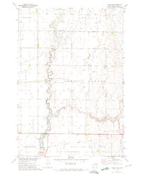
1971 · Doland NW
USGS Topo · 1:24,000
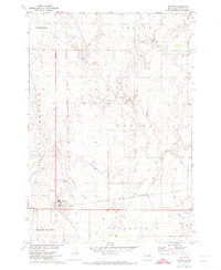
1971 · Doland
USGS Topo · 1:24,000
Featured Places
- Belle Plaine Township, SD
- Harrison Township, SD
- Lincoln Township, SD
- Frankfort Township, SD
- Spink County, SD