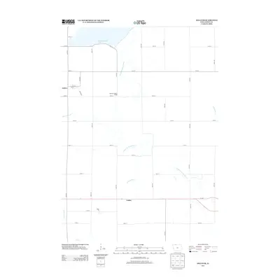
2013 Map of Dolliver
USGS Topo · Published 2013About this map
Okamanpeedan Lake and the meandering E Fork Des Moines River dominate this portion of Emmet County, where the landscape is defined by a dense network of drainage canals and agricultural section lines. The settlement of Dolliver is situated at the intersection of Main St and Otis St, while the community of Gridley lies further south along a central east-west highway corridor.
Find a feature on this map
33 named features on this map. Tap any name to fly to it.
Don’t see what you’re looking for? This feature index may not catch every label — zoom into the map to look around manually.
Map Details
Editions of this 2013 Dolliver Map
This is the sole edition of this map. No revisions or reprints were ever made.
Other maps of this area

1954 · Fairmont
USGS Topo · 1:250,000

1958 · Fairmont
USGS Topo · 1:250,000

1967 · Wilmert Lake
USGS Topo · 1:24,000

1970 · Ceylon
USGS Topo · 1:24,000

1970 · Wilbert
USGS Topo · 1:24,000

1980 · Seneca
USGS Topo · 1:24,000

1980 · Armstrong
USGS Topo · 1:24,000

1980 · Ringsted
USGS Topo · 1:24,000

1980 · Ingham Lake
USGS Topo · 1:24,000

1980 · Gruver
USGS Topo · 1:24,000