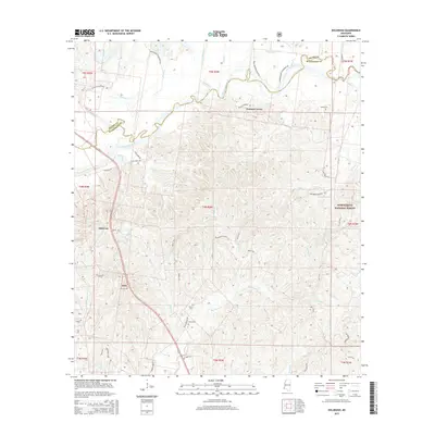
2015 Map of Doloroso
USGS Topo · Published 2015About this map
The Homochitto River meanders across the border of Adams and Wilkinson Counties, defining the drainage patterns of this Southwest Mississippi landscape. To the south, the Homochitto National Forest covers much of the terrain, where numerous small tributaries like Steels Cr and Big Piney Cr cut through the timberland. Local history is anchored by the small settlements of Doloroso and Possum Corner, connected by a network of rural roads that often follow old property and plantation lines.
Find a feature on this map
58 named features on this map. Tap any name to fly to it.
Don’t see what you’re looking for? This feature index may not catch every label — zoom into the map to look around manually.
Map Details
Editions of this 2015 Doloroso Map
This is the sole edition of this map. No revisions or reprints were ever made.
Other maps of this area

1936 · Woodville
USGS Topo · 1:62,500

1939 · Kingston
USGS Topo · 1:62,500

1953 · Natchez
USGS Topo · 1:250,000

1956 · Natchez
USGS Topo · 1:250,000

1958 · Woodville
USGS Topo · 1:62,500

1958 · Kingston
USGS Topo · 1:62,500

1959 · Natchez
USGS Topo · 1:250,000

1961 · Crosby
USGS Topo · 1:62,500

1961 · Gloster
USGS Topo · 1:62,500

1984 · Woodville
USGS Topo · 1:100,000