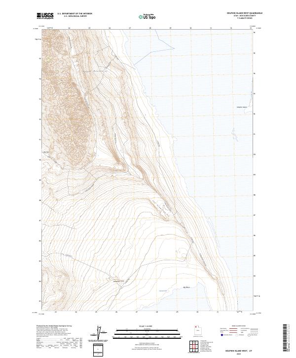
2023 Map of Dolphin Island West
USGS Topo · Published 2023About this map
The eastern slopes of the Hogup Mountains descend into the salt flats and shoreline of the Great Salt Lake in this western portion of the Box Elder County landscape. This terrain is defined by its extreme isolation and the specialized routes required to traverse it, including Upper East Hogup Rd and the appropriately named Sheep Camp Rd, which hints at the seasonal pastoral use of these high-desert elevations. The transition from the rugged upland of Deadman Knoll to the low-lying reaches of Clyman Bay and Big Wash illustrates the hydrological basin's reach. To the east, the map captures the western edge of Dolphin Island, isolated by the salt flats. Notable landforms such as The Fingerpoint and the narrow passage at Big Pass dominate the topography, providing essential landmarks in an area with very few permanent structures.
Find a feature on this map
13 named features on this map. Tap any name to fly to it.
Don’t see what you’re looking for? This feature index may not catch every label — zoom into the map to look around manually.
Map Details
Editions of this 2023 Dolphin Island West Map
This is the sole edition of this map. No revisions or reprints were ever made.
Other maps of this area

1954 · Brigham City
USGS Topo · 1:250,000

1958 · Brigham City
USGS Topo · 1:250,000

1962 · Brigham City
USGS Topo · 1:250,000

1969 · Spring Bay SW
USGS Topo · 1:24,000

1969 · Dolphin Island West
USGS Topo · 1:24,000

1969 · Gunnison Island SW
USGS Topo · 1:24,000
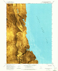
1969 · Dolphin Island East
USGS Topo · 1:24,000

1969 · Hogup Ridge North
USGS Topo · 1:24,000

1969 · Hogup Bar
USGS Topo · 1:24,000
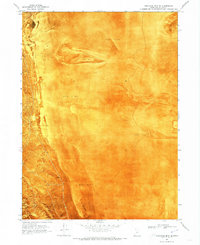
1969 · Crocodile Mtn SE
USGS Topo · 1:24,000