
1954 Map of Domino
USGS Topo · Published 1955About this map
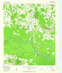
The winding Sulphur River carves a complex course across this mid-century survey, defining the border between Cass and Bowie counties. Near the settlement of Domino, the Texas and Pacific railroad bisects the landscape, which is marked by numerous country churches such as St Paul Ch and Bethenia Ch. To the north, the Federal Correctional Institution stands near the Texas-Arkansas state line, while the southern terrain transitions into a dense network of sloughs and lakes, including Alligator Lake and Snaggy Lake.
Find a feature on this map
59 named features on this map. Tap any name to fly to it.
Don’t see what you’re looking for? This feature index may not catch every label — zoom into the map to look around manually.
Map Details
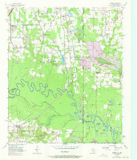
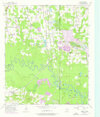
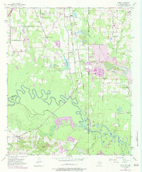
Editions of this 1954 Domino Map
5 editions found
Other maps of this area

1907 · Atlanta
USGS Topo · 1:62,500

1909 · Texarkana
USGS Topo · 1:62,500

1910 · Atlanta
USGS Topo · 1:62,500

1952 · Mandeville
USGS Topo · 1:24,000

1952 · Doddridge NW
USGS Topo · 1:24,000

1952 · Fouke
USGS Topo · 1:24,000

1953 · Texarkana
USGS Topo · 1:250,000

1953 · El Dorado
USGS Topo · 1:250,000

1954 · Texarkana
USGS Topo · 1:24,000

1954 · Leary
USGS Topo · 1:24,000