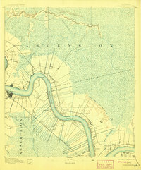
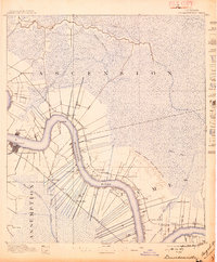
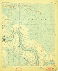
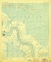
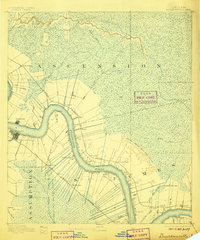
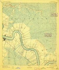
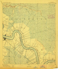
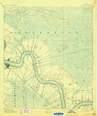
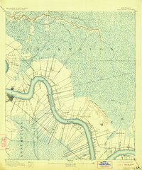
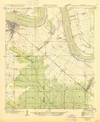
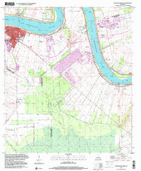
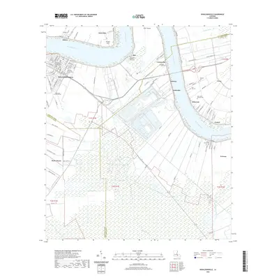
1892 Map of Donaldsonville
USGS Topo · Published 1908About this map
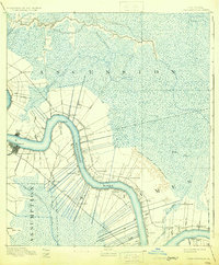
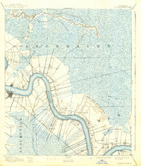
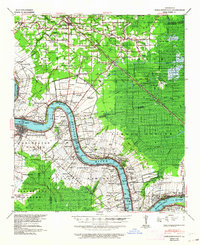
The Mississippi River anchors this late nineteenth-century landscape, carving a deep arc through the parishes of Ascension, Assumption, and St James. The survey reveals a distinct plantation-style settlement pattern where narrow strips of cultivated land cling to the river's high banks, backed by the vast swamplands of the New River and Blind River basins. Critical transport infrastructure is visible in the competition between water and rail, with the Texas and Pacific Railroad and the Louisville New Orleans and Texas Railway paralleling the river's course.
Find a feature on this map
39 named features on this map. Tap any name to fly to it.
Don’t see what you’re looking for? This feature index may not catch every label — zoom into the map to look around manually.
Map Details
Editions of this 1892 Donaldsonville Map
12 editions found

1892 edition
16.1 x 19.7 inches
1897 edition
16.6 x 20.1 inches
1903 edition
16.5 x 19.9 inches
1905 edition
16.5 x 19.9 inches
1906 edition
16.5 x 19.8 inches
1908 edition
16.5 x 19.9 inches
1910 edition
16.6 x 19.5 inches
1912 edition
16.7 x 19.8 inches
1915 edition
16.6 x 19.9 inches
1923 edition
16.6 x 20 inches
1931 edition
16.4 x 19.8 inches
1938 edition
16.9 x 19.8 inches
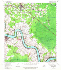
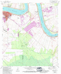
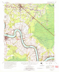
Historical Maps of Gonzales Through Time
12 maps found
1892 Donaldsonville
Ascension Parish, LA
1939 Donaldsonville
Ascension Parish, LA
1947 Donaldsonville
Ascension Parish, LA
1962 Donaldsonville
Ascension Parish, LA
1962 Donaldsonville
Ascension Parish, LA
1965 Donaldsonville
Ascension Parish, LA
1999 Donaldsonville
Ascension Parish, LA
2012 Donaldsonville
Ascension Parish, LA
2015 Donaldsonville
Ascension Parish, LA
2018 Donaldsonville
Ascension Parish, LA
2020 Donaldsonville
Ascension Parish, LA
2024 Donaldsonville
Ascension Parish, LA