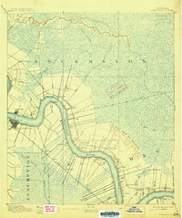
1892 Map of Donaldsonville
USGS Topo · Published 1915About this map
Donaldsonville serves as the focal point of this riverfront survey, positioned at the sharp bend where the Mississippi River meets the bayou country. The landscape is defined by the complex hydrology of the lower Mississippi, featuring the Nita Crevasse and its extensive alluvial deposit, which significantly altered the terrain of St. James Parish. The map reveals a plantation-era settlement pattern with long, narrow land tracts stretching back from the riverbanks, punctuated by communities like Belle Helene, Burnside, and Convent. Transportation networks of the late nineteenth century are clearly visible, including the Texas and Pacific and the Louisville New Orleans and Texas railroads. For genealogists and historians, the inclusion of Indian Mounds and specific landings such as Pt Houmas and College Point provides a look at the cultural and economic landmarks that anchored these river parishes.
Find a feature on this map
41 named features on this map. Tap any name to fly to it.
Don’t see what you’re looking for? This feature index may not catch every label — zoom into the map to look around manually.
Map Details
Editions of this 1892 Donaldsonville Map
12 editions found

1892 edition
16.1 x 19.7 inches
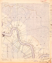
1897 edition
16.6 x 20.1 inches
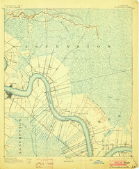
1903 edition
16.5 x 19.9 inches
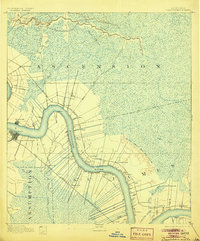
1905 edition
16.5 x 19.9 inches
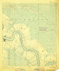
1906 edition
16.5 x 19.8 inches
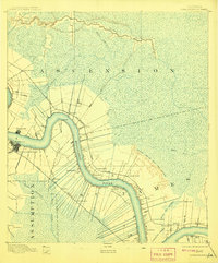
1908 edition
16.5 x 19.9 inches
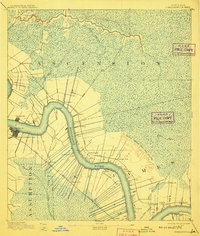
1910 edition
16.6 x 19.5 inches
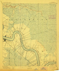
1912 edition
16.7 x 19.8 inches
1915 edition
16.6 x 19.9 inches
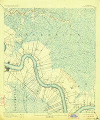
1923 edition
16.6 x 20 inches
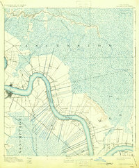
1931 edition
16.4 x 19.8 inches
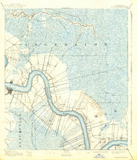
1938 edition
16.9 x 19.8 inches
Other maps of this area

1892 · Lac Des Allemands
USGS Topo · 1:62,500

1892 · Mount Airy
USGS Topo · 1:62,500
1892 · Donaldsonville
USGS Topo · 1:62,500

1892 · Thibodaux
USGS Topo · 1:62,500

1908 · Baton Rouge
USGS Topo · 1:62,500

1927 · Thibodaux NW
USGS Topo · 1:31,680

1932 · Lac Des Allemands NW
USGS Topo · 1:31,680

1932 · Thibodaux NE
USGS Topo · 1:31,680

1934 · Denham Springs
USGS Topo · 1:62,500

1934 · Springfield
USGS Topo · 1:62,500