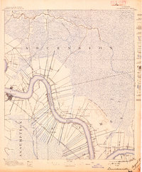
1892 Map of Donaldsonville
USGS Topo · Published 1897About this map
The Mississippi River defines the landscape of this late nineteenth-century river country, its winding course lined with narrow ribbon plantations and early rail infrastructure. Surveyed just after the great crevasse of 1890, the map clearly delineates the Nita Crevasse and the resulting alluvial deposit that reshaped the riverbank in St James Parish. The settlement pattern is strictly river-oriented, with landing points and small communities like Donaldsonville, Darrowville, and Burnside serving as focal points for local trade and transport.
Find a feature on this map
41 named features on this map. Tap any name to fly to it.
Don’t see what you’re looking for? This feature index may not catch every label — zoom into the map to look around manually.
Map Details
Editions of this 1892 Donaldsonville Map
12 editions found

1892 edition
16.1 x 19.7 inches
1897 edition
16.6 x 20.1 inches
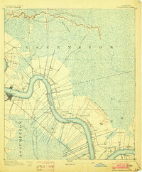
1903 edition
16.5 x 19.9 inches
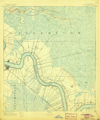
1905 edition
16.5 x 19.9 inches
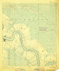
1906 edition
16.5 x 19.8 inches
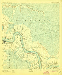
1908 edition
16.5 x 19.9 inches
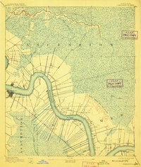
1910 edition
16.6 x 19.5 inches
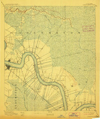
1912 edition
16.7 x 19.8 inches
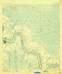
1915 edition
16.6 x 19.9 inches
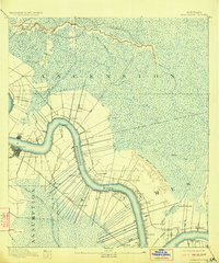
1923 edition
16.6 x 20 inches
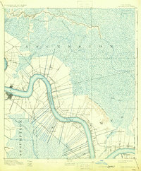
1931 edition
16.4 x 19.8 inches
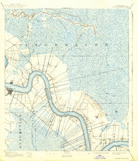
1938 edition
16.9 x 19.8 inches
Other maps of this area

1892 · Lac Des Allemands
USGS Topo · 1:62,500

1892 · Mount Airy
USGS Topo · 1:62,500
1892 · Donaldsonville
USGS Topo · 1:62,500

1892 · Thibodaux
USGS Topo · 1:62,500

1908 · Baton Rouge
USGS Topo · 1:62,500

1927 · Thibodaux NW
USGS Topo · 1:31,680

1932 · Lac Des Allemands NW
USGS Topo · 1:31,680

1932 · Thibodaux NE
USGS Topo · 1:31,680

1934 · Denham Springs
USGS Topo · 1:62,500

1934 · Springfield
USGS Topo · 1:62,500