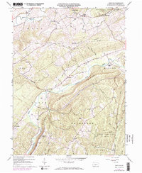
1963 Map of Donation
USGS Topo · Published 1973About this map
Standing Stone Creek carves a deep valley through the ridges of central Pennsylvania, anchoring a landscape defined by the parallel rise of Warrior Ridge and Standing Stone Ridge. In the early 1960s, small rural settlements like Cottage, Saulsburg, and Donation remained connected by winding mountain roads and a prominent Telephone Line that followed the heights of Warrior Ridge. The map reveals a mix of agricultural valley life and academic forestry, with the Pennsylvania State University Experimental Forest occupying the northern heights.
Find a feature on this map
56 named features on this map. Tap any name to fly to it.
Don’t see what you’re looking for? This feature index may not catch every label — zoom into the map to look around manually.
Map Details
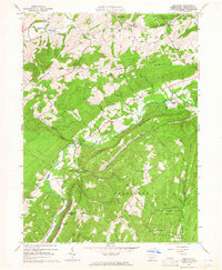
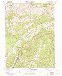
Editions of this 1963 Donation Map
3 editions found
Other maps of this area

1901 · Huntingdon
USGS Topo · 1:62,500

1904 · Huntingdon
USGS Topo · 1:62,500

1919 · Menno
USGS Topo · 1:62,500

1922 · Mt Union
USGS Topo · 1:48,000

1923 · Tyrone
USGS Topo · 1:62,500

1924 · Mt. Union
USGS Topo · 1:62,500

1929 · Tyrone
USGS Topo · 1:48,000

1933 · Tyrone
USGS Topo · 1:62,500

1935 · Allensville
USGS Topo · 1:62,500

1938 · Allensville
USGS Topo · 1:62,500