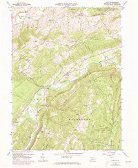
1963 Map of Donation
USGS Topo · Published 1973About this map
Standing Stone Creek meanders through the central valley of this Huntingdon County landscape, providing a geographical anchor for several small rural settlements. The map illustrates the mid-century character of places like Donation, Center Union, and Cornpropst Mills, where local life clustered between the prominent elevations of Warrior Ridge and Standing Stone Ridge. In the northern reaches, the Pennsylvania State University Forest and experimental forestry lands suggest a region dedicated to conservation and natural resource management.
Find a feature on this map
52 named features on this map. Tap any name to fly to it.
Don’t see what you’re looking for? This feature index may not catch every label — zoom into the map to look around manually.
Map Details
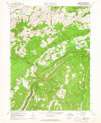
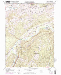
Editions of this 1963 Donation Map
3 editions found
Other maps of this area

1901 · Huntingdon
USGS Topo · 1:62,500

1904 · Huntingdon
USGS Topo · 1:62,500

1919 · Menno
USGS Topo · 1:62,500

1922 · Mt Union
USGS Topo · 1:48,000

1923 · Tyrone
USGS Topo · 1:62,500

1924 · Mt. Union
USGS Topo · 1:62,500

1929 · Tyrone
USGS Topo · 1:48,000

1933 · Tyrone
USGS Topo · 1:62,500

1935 · Allensville
USGS Topo · 1:62,500

1938 · Allensville
USGS Topo · 1:62,500