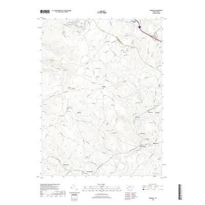
2019 Map of Donegal
USGS Topo · Published 2019About this map
Lake Donegal and the winding Champion Creek corridor define this corner of the Laurel Highlands, where the Westmoreland and Fayette county lines converge. The landscape is marked by high points like Sun Hill and Jockey Knob, with numerous small communities and family burial sites scattered throughout the drainages of Indian Creek and Jacobs Creek. Settlement patterns follow the valley floors and ridges, connecting the boroughs of Donegal and Indian Head with smaller hamlets like Normalville and Melcroft.
Find a feature on this map
145 named features on this map. Tap any name to fly to it.
Don’t see what you’re looking for? This feature index may not catch every label — zoom into the map to look around manually.
Map Details
Editions of this 2019 Donegal Map
This is the sole edition of this map. No revisions or reprints were ever made.
Other maps of this area

1900 · Uniontown
USGS Topo · 1:62,500

1902 · Connellsville
USGS Topo · 1:62,500

1922 · Confluence
USGS Topo · 1:62,500

1922 · Donegal
USGS Topo · 1:62,500

1931 · Connellsville
USGS Topo · 1:62,500

1931 · Uniontown
USGS Topo · 1:62,500

1931 · Confluence
USGS Topo · 1:62,500

1933 · Confluence
USGS Topo · 1:62,500

1935 · Donegal
USGS Topo · 1:62,500

1936 · Connellsville
USGS Topo · 1:62,500
Featured Places
- Donegal, PA
- Donegal Township, PA
- Mount Pleasant Township, PA
- Springfield Township, PA
- Bear Rocks, Bullskin Township