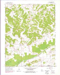
1963 Map of Dongola
USGS Topo · Published 1978About this map
Dongola stands at the heart of this Missouri landscape, situated where the rolling uplands of the Goose Pond Hills meet the modified wetlands of the south. The 1960s terrain reveals a complex water management system, defined by the massive Diversion Channel and its accompanying Levee, designed to control the Castor River and drain the Dark Cypress Swamp. This transition from hills to engineered bottomlands is a primary feature of the region, illustrating the mid-century efforts to reclaim land for agriculture through the Crater Ditch and various drainage projects.
Find a feature on this map
29 named features on this map. Tap any name to fly to it.
Don’t see what you’re looking for? This feature index may not catch every label — zoom into the map to look around manually.
Map Details
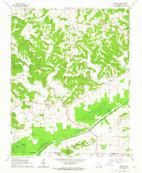
Editions of this 1963 Dongola Map
2 editions found
Other maps of this area

1933 · Marble Hill
USGS Topo · 1:62,500

1933 · Marquand
USGS Topo · 1:62,500

1934 · Advance
USGS Topo · 1:62,500

1935 · Zalma
USGS Topo · 1:62,500

1937 · Marble Hill
USGS Topo · 1:62,500

1938 · Marquand
USGS Topo · 1:62,500

1939 · Advance
USGS Topo · 1:62,500

1939 · Zalma
USGS Topo · 1:62,500

1949 · Paducah
USGS Topo · 1:250,000

1949 · Rolla
USGS Topo · 1:250,000