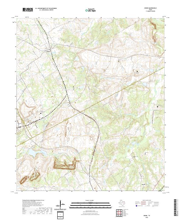
2022 Map of Donie
USGS Topo · Published 2022About this map
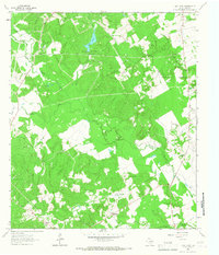
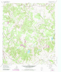
Donie and the northern outskirts of Jewett anchor this landscape along the county lines of Leon, Freestone, and Limestone. The terrain is defined by a dense network of tributaries including Buffalo Cr, Alligator Cr, and Bena Br, which feed into local catchments like Flag Pond and Alligator Pond. For genealogists and local historians, the area is notable for its numerous rural burial grounds, such as Old Zion Cem, Old Spring Seat Cem, and Wilson Chapel Cem. The map reflects a modern rural Texas economy where established ranch roads and farm-to-market routes, including FM 1512, navigate a landscape of small reservoirs like Donie Reservoir and specialized landmarks such as Hub Field and the infrastructure along Gas Well RD.
Find a feature on this map
71 named features on this map. Tap any name to fly to it.
Don’t see what you’re looking for? This feature index may not catch every label — zoom into the map to look around manually.
Map Details
Editions of this 2022 Donie Map
This is the sole edition of this map. No revisions or reprints were ever made.
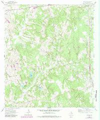
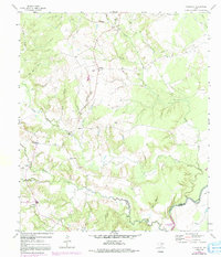
Historical Maps of Donie Through Time
20 maps found
1964 Eunice
Leon County, TX
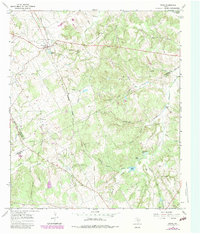
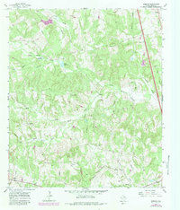
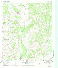
1964 Flo
Leon County, TX
1964 Halls Bluff
Leon County, TX
1964 Lake Leon
Leon County, TX
1964 Margie
Leon County, TX
1964 Middleton
Leon County, TX
1964 Spring Seat
Leon County, TX
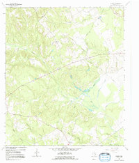
1965 Donie
Leon County, TX
1965 Robbins
Leon County, TX
1966 Round Prairie
Leon County, TX
2022 Donie
Leon County, TX

2022 Eunice
Leon County, TX
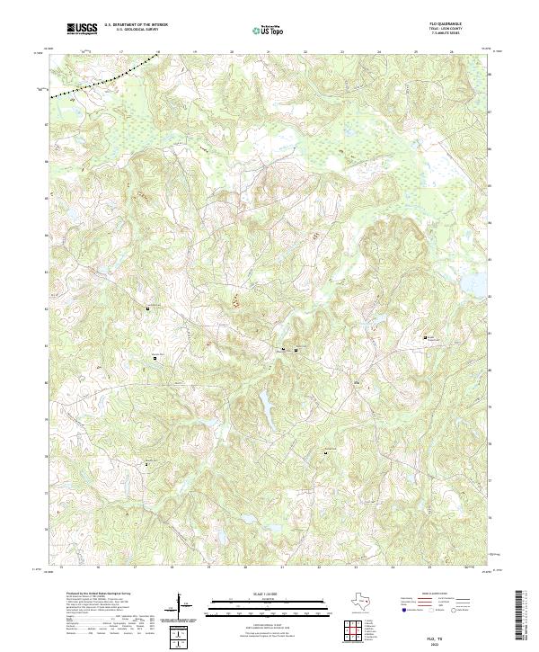
2022 Flo
Leon County, TX
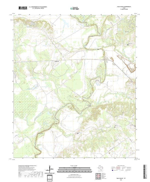
2022 Halls Bluff
Leon County, TX
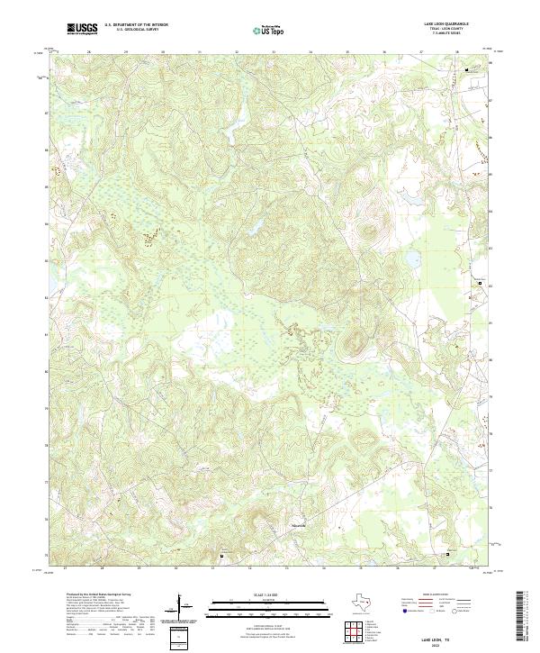
2022 Lake Leon
Leon County, TX
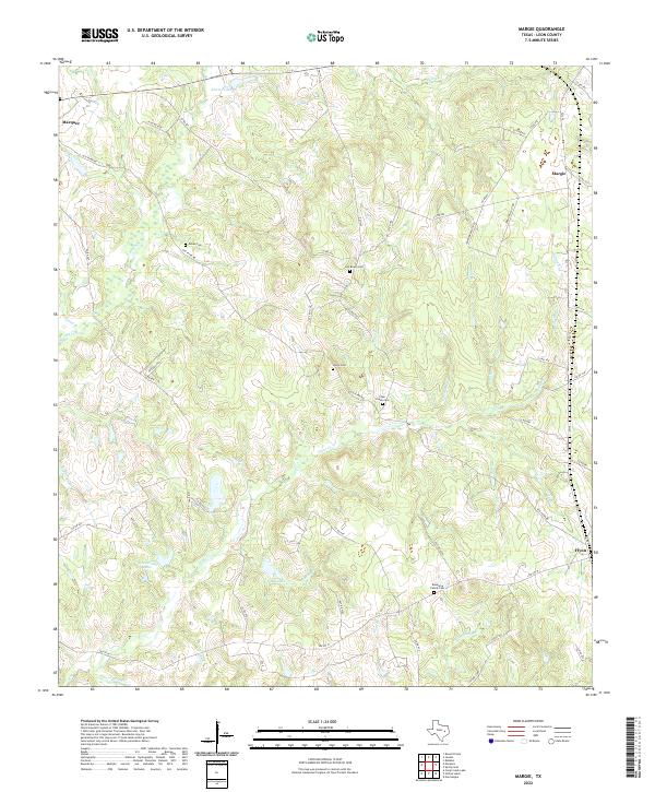
2022 Margie
Leon County, TX
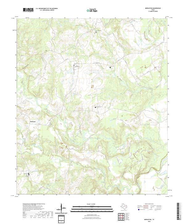
2022 Middleton
Leon County, TX
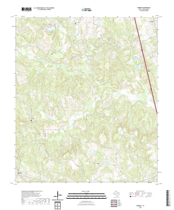
2022 Robbins
Leon County, TX
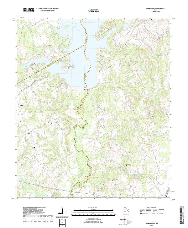
2022 Round Prairie
Leon County, TX
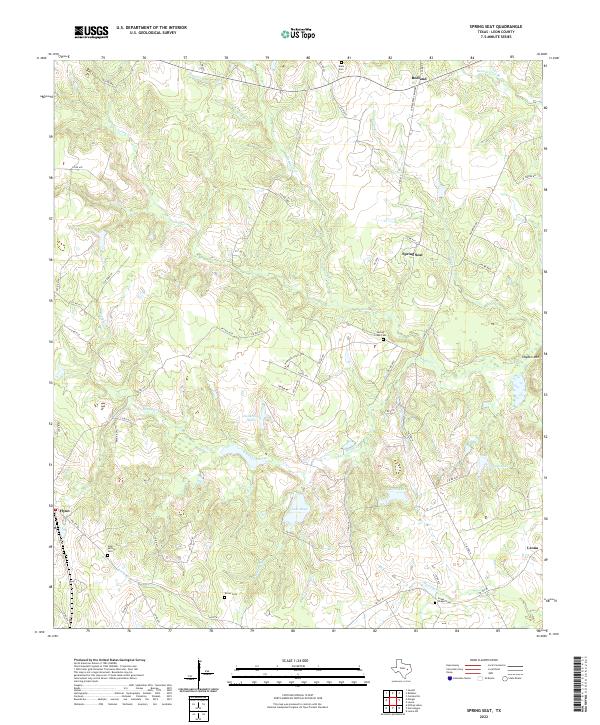
2022 Spring Seat
Leon County, TX