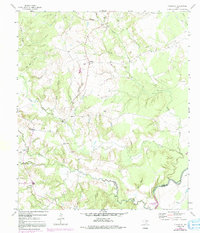
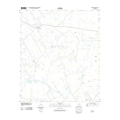
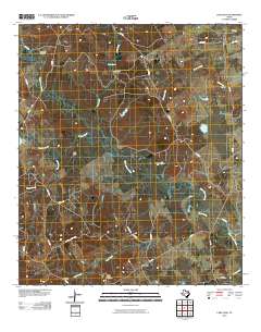
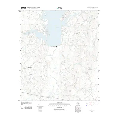
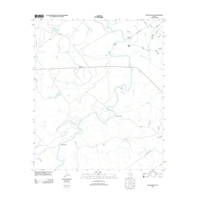
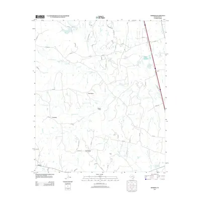
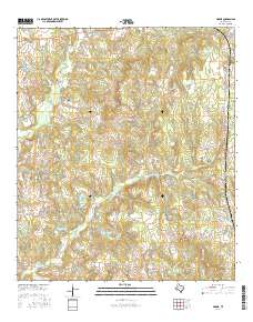
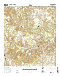
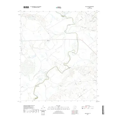
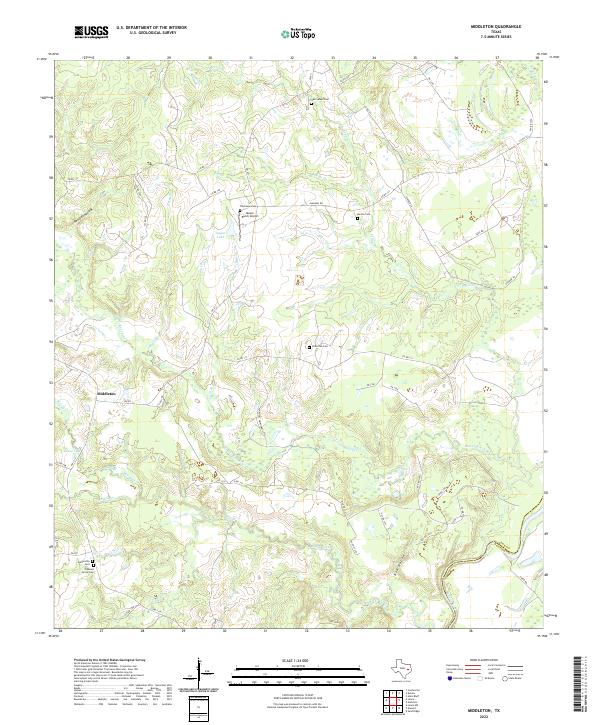
1964 Map of Middleton
USGS Topo · Published 1992About this map
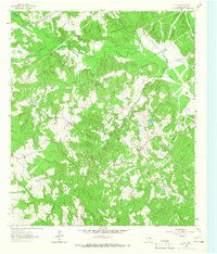
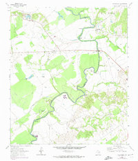
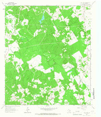
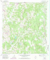
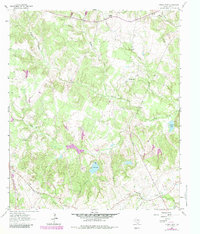
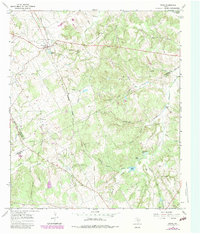
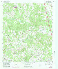
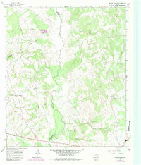
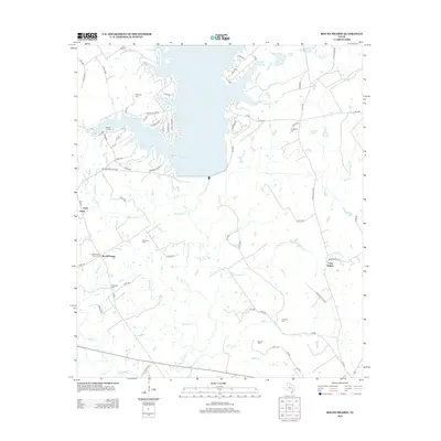
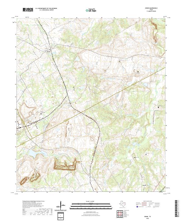
The Trinity River forms a critical boundary between Leon and Houston counties in this survey, capturing a landscape in transition as the waters of Lake Livingston began to influence the local geography. Small rural commerce hubs like Middleton and Guys Store anchor a network of country roads, while the southern reaches of the map near Spillerville show the influence of local industry at the Gravel Pit. The map is particularly rich for genealogical research, documenting numerous family-named landmarks and community centers including the Thomason Cem and New Salem Ch.
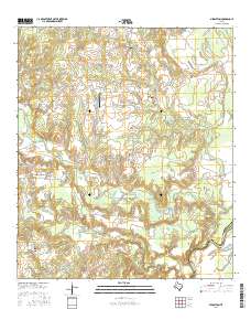
Find a feature on this map
36 named features on this map. Tap any name to fly to it.
Don’t see what you’re looking for? This feature index may not catch every label — zoom into the map to look around manually.
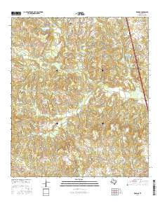
Map Details
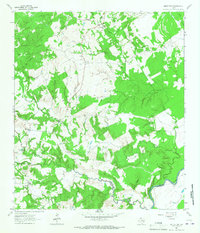
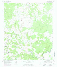
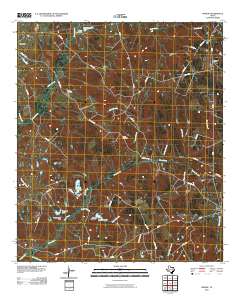
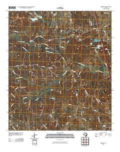
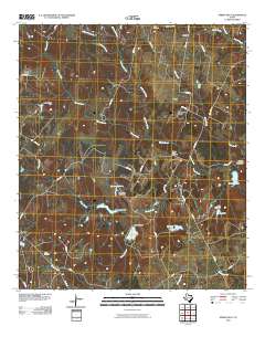
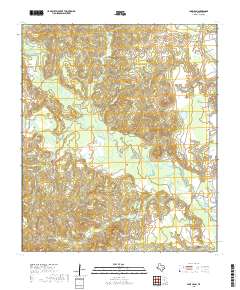
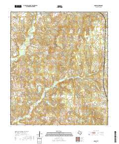
Editions of this 1964 Middleton Map
3 editions found
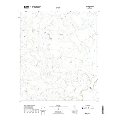
Historical Maps of Guys Store Through Time
60 maps found
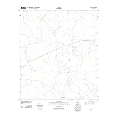
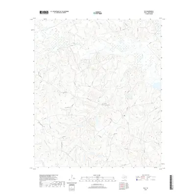
1964 Eunice
Leon County, TX
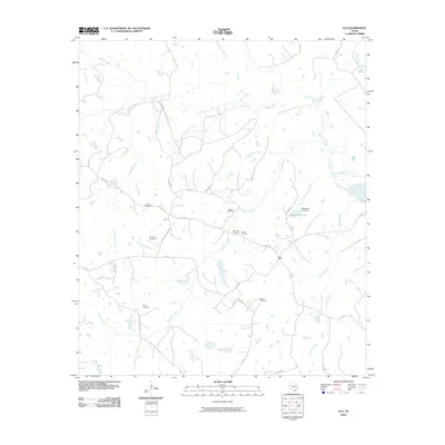
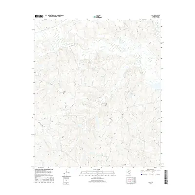
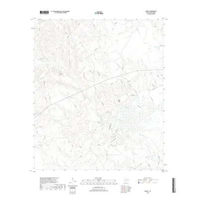
1964 Flo
Leon County, TX
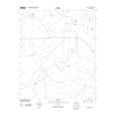
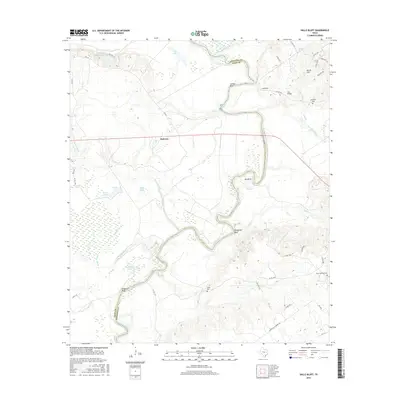
1964 Halls Bluff
Leon County, TX
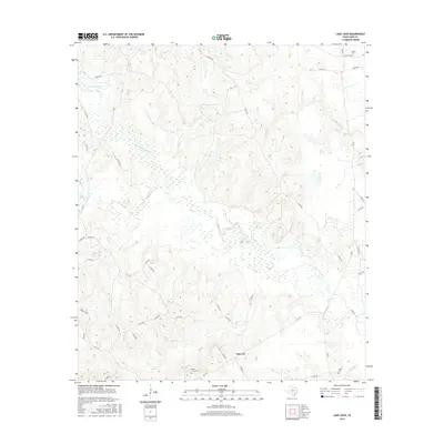
1964 Lake Leon
Leon County, TX
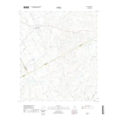
1964 Margie
Leon County, TX
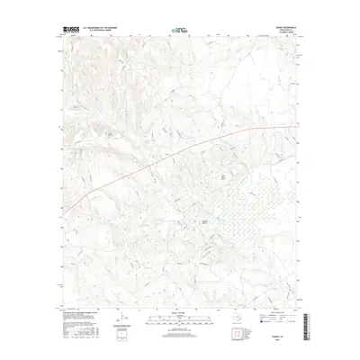
1964 Middleton
Leon County, TX
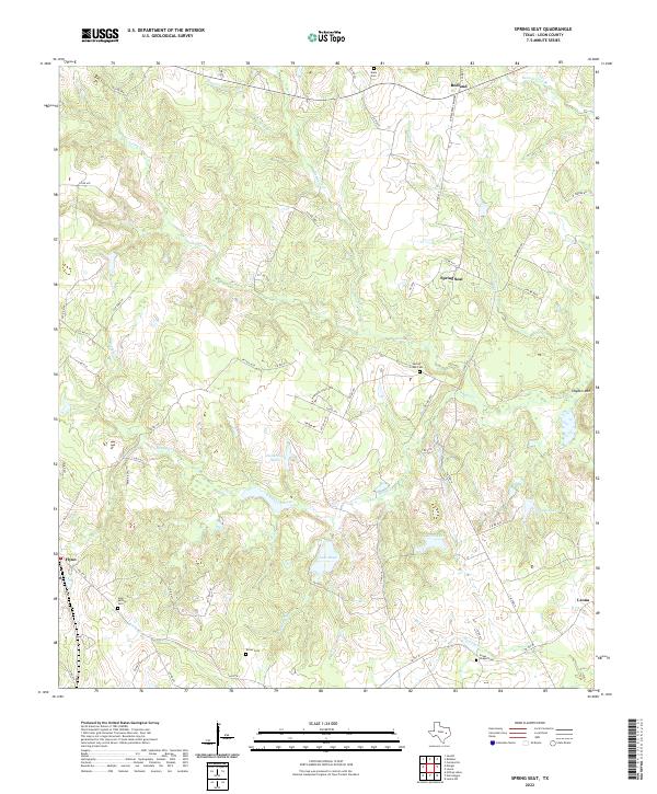
1964 Spring Seat
Leon County, TX
1965 Donie
Leon County, TX
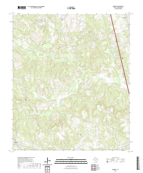
1965 Robbins
Leon County, TX
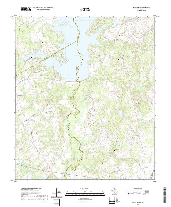
1966 Round Prairie
Leon County, TX
2010 Donie
Leon County, TX
2010 Eunice
Leon County, TX
2010 Flo
Leon County, TX
2010 Halls Bluff
Leon County, TX
2010 Lake Leon
Leon County, TX
2010 Margie
Leon County, TX

2010 Middleton
Leon County, TX
2010 Robbins
Leon County, TX
2010 Spring Seat
Leon County, TX
2011 Round Prairie
Leon County, TX
2013 Donie
Leon County, TX
2013 Eunice
Leon County, TX
2013 Flo
Leon County, TX
2013 Halls Bluff
Leon County, TX
2013 Lake Leon
Leon County, TX
2013 Margie
Leon County, TX
2013 Middleton
Leon County, TX
2013 Robbins
Leon County, TX
2013 Round Prairie
Leon County, TX
2013 Spring Seat
Leon County, TX
2016 Donie
Leon County, TX
2016 Eunice
Leon County, TX
2016 Flo
Leon County, TX
2016 Halls Bluff
Leon County, TX
2016 Lake Leon
Leon County, TX
2016 Margie
Leon County, TX
2016 Middleton
Leon County, TX
2016 Robbins
Leon County, TX
2016 Round Prairie
Leon County, TX
2016 Spring Seat
Leon County, TX
2019 Donie
Leon County, TX
2019 Eunice
Leon County, TX
2019 Flo
Leon County, TX
2019 Halls Bluff
Leon County, TX
2019 Lake Leon
Leon County, TX
2019 Margie
Leon County, TX
2019 Middleton
Leon County, TX
2019 Robbins
Leon County, TX
2019 Round Prairie
Leon County, TX
2019 Spring Seat
Leon County, TX
2022 Donie
Leon County, TX

2022 Eunice
Leon County, TX
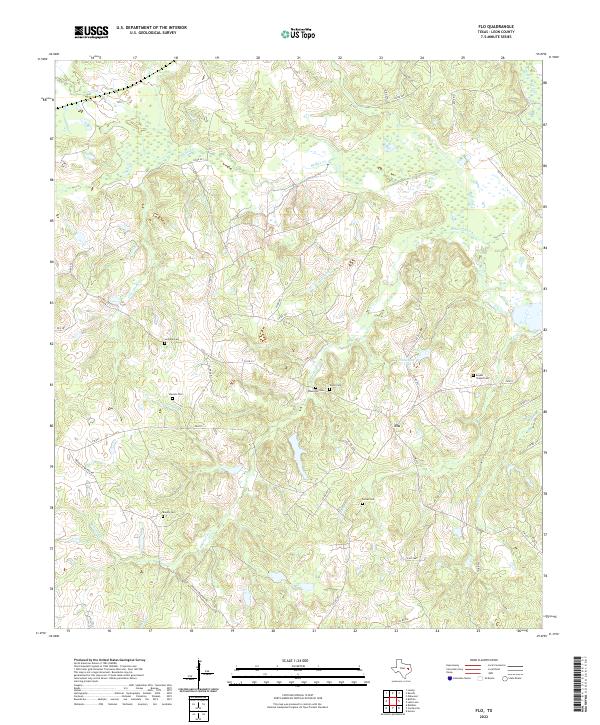
2022 Flo
Leon County, TX
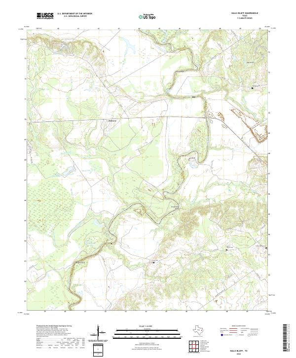
2022 Halls Bluff
Leon County, TX
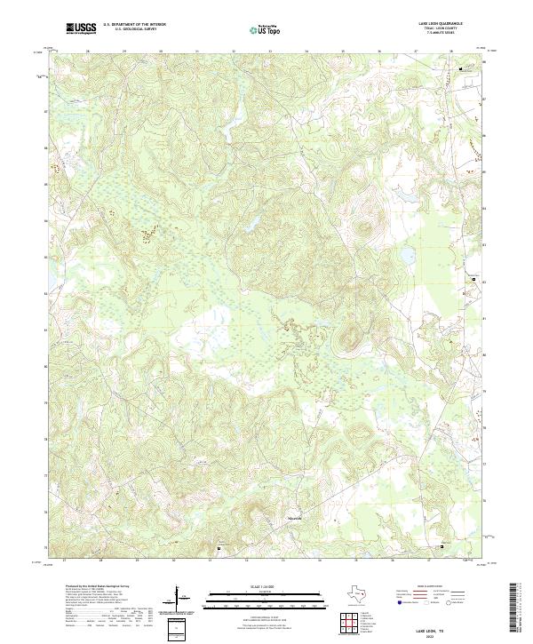
2022 Lake Leon
Leon County, TX
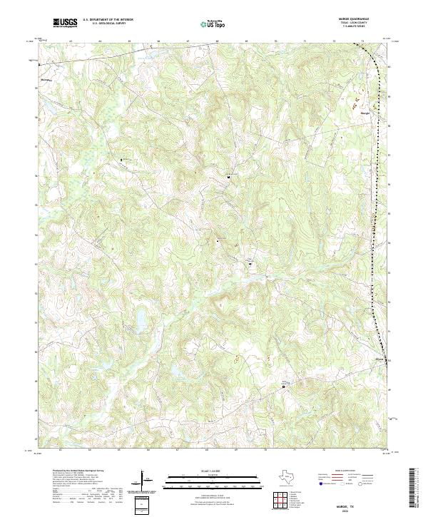
2022 Margie
Leon County, TX
2022 Middleton
Leon County, TX
2022 Robbins
Leon County, TX
2022 Round Prairie
Leon County, TX
2022 Spring Seat
Leon County, TX